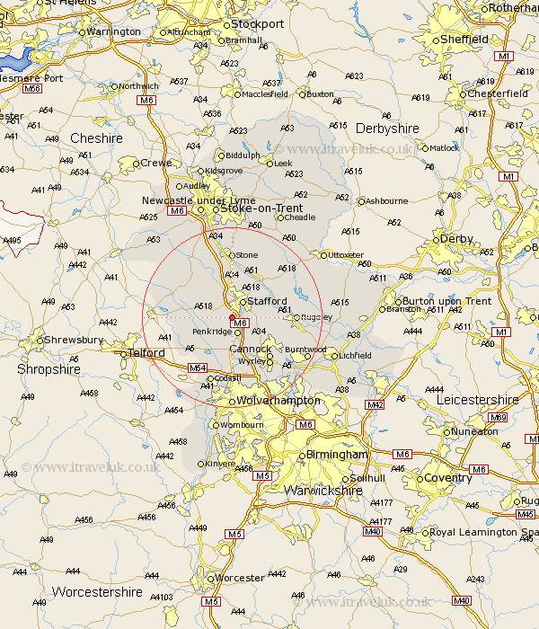
Staffordshire Map Showing Location of Coppenhall
Population: 201
District: South Staffordshire
Easting: 391004 Northing: 318834
Latitude: 52.77 Longitude: -2.13
 = Coppenhall
District: South Staffordshire
Easting: 391004 Northing: 318834
Latitude: 52.77 Longitude: -2.13
= Coppenhall
This Coppenhall map below is supplied by Google. Use the tools in the top left corner to zoom into street level or zoom out for a road map, you may also need to zoom in to see Coppenhall on the map. Click and drag the map to move around. If the map fails to load try and refresh your browser or zoom in or out (+ or -).
Update - it seems Google no longer allow people to use their maps for free! This Coppenhall map sometimes loads and sometimes gives a error. I am working on a solution.
Closest 30 Towns or Cities to Coppenhall (Population over 500)
Penkridge 3.88km Stafford 4.33km Bednall 4.49km Haughton 4.85km Seighford 6.5km Church Eaton 6.98km Hopton 7.74km Wheaton Aston 7.9km Gnosall 8.06km Gnossall 8.06km Brewood 9.54km Huntington 10.02km Colwich 10.26km Weston 10.79km Weston upon Trent 10.79km Blymhill 11.53km Shareshill 11.62km Hednesford 11.65km Eccleshall 12.14km Cannock 12.15km Weston under Lizard 12.53km Weston 12.53km Weston-under-Lizard 12.53km Wyrley 13.38km Great Wyrley 13.38km Rugeley 13.46km Norton Canes 14.56km Colton 14.58km Stone 14.82km High Offley 15.35km