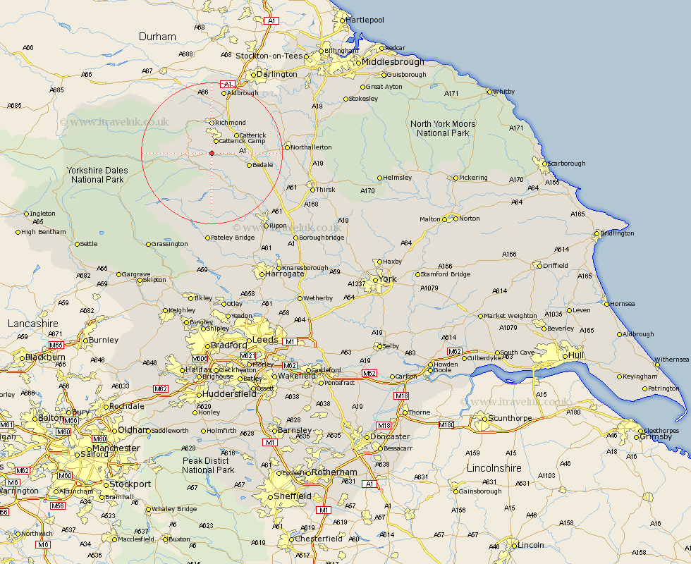
Yorkshire Map Showing Location of Constable Burton
Population: 160
District: Richmondshire
Easting: 417345 Northing: 491284
Latitude: 54.32 Longitude: -1.73
 = Constable Burton
District: Richmondshire
Easting: 417345 Northing: 491284
Latitude: 54.32 Longitude: -1.73
= Constable Burton
This Constable Burton map below is supplied by Google. Use the tools in the top left corner to zoom into street level or zoom out for a road map, you may also need to zoom in to see Constable Burton on the map. Click and drag the map to move around. If the map fails to load try and refresh your browser or zoom in or out (+ or -).
Update - it seems Google no longer allow people to use their maps for free! This Constable Burton map sometimes loads and sometimes gives a error. I am working on a solution.
Closest 30 Towns or Cities to Constable Burton (Population over 500)
Leyburn 5.72km Middleham 6.56km Crakehall 7.79km Catterick 8.54km Richmond 9.26km Bedale 10.42km Scorton 11.38km Masham 12.37km Gilling 13.01km North Cowton 15.06km Middleton Tyas 15.77km Grewelthorpe 15.79km Tanfield 16.9km West Tanfield 16.9km East Cowton 17.07km Cowton 17.07km Barton 17.53km Kirkby Malzeard 17.54km Bradley 18.79km Melsonby 18.81km Northallerton 19.54km Brompton 20.86km Bewerley 26.04km Ripon 26.33km Topcliffe 27.15km Dishforth 27.7km Thirsk 28.26km Osmotherley 28.63km Dacre 29.68km Monkton 30.07km