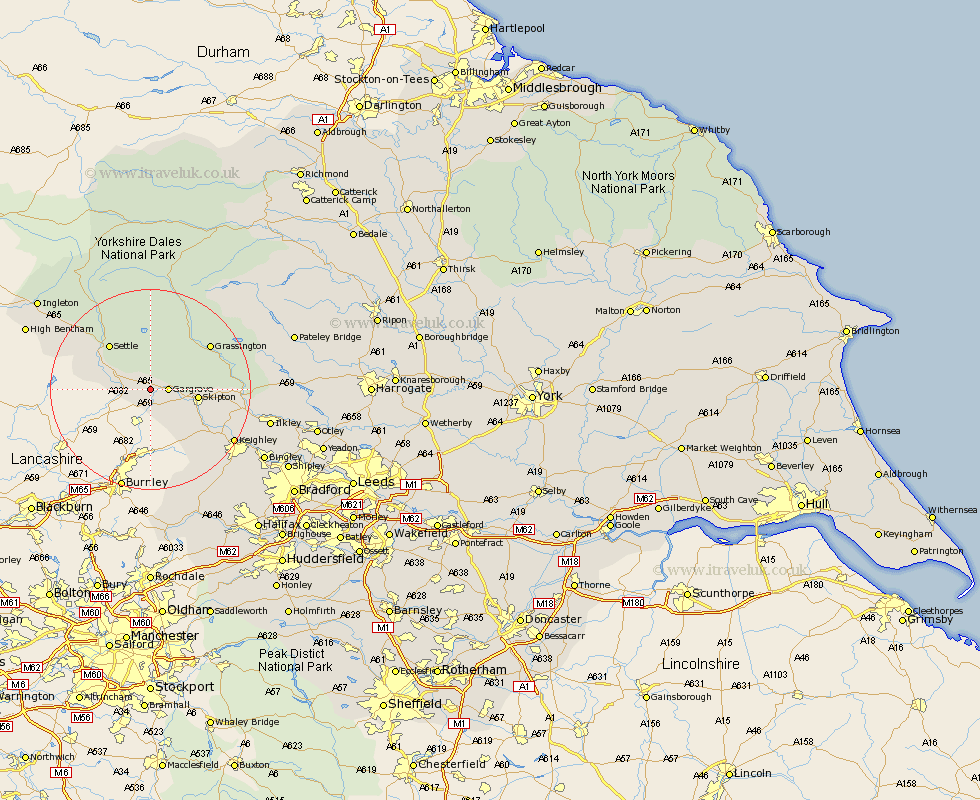
Yorkshire Map Showing Location of Coniston Cold
Population: 186
District: Craven
Easting: 390164 Northing: 454170
Latitude: 53.98 Longitude: -2.15
 = Coniston Cold
District: Craven
Easting: 390164 Northing: 454170
Latitude: 53.98 Longitude: -2.15
= Coniston Cold
This Coniston Cold map below is supplied by Google. Use the tools in the top left corner to zoom into street level or zoom out for a road map, you may also need to zoom in to see Coniston Cold on the map. Click and drag the map to move around. If the map fails to load try and refresh your browser or zoom in or out (+ or -).
Update - it seems Google no longer allow people to use their maps for free! This Coniston Cold map sometimes loads and sometimes gives a error. I am working on a solution.
Closest 30 Towns or Cities to Coniston Cold (Population over 500)
Gargrave 3.27km Hellifield 4.36km Long Preston 6.8km Earby 7.72km Carlton 8.59km Carleton 8.59km Skipton 8.91km Giggleswick 10.64km Embsay 11.06km Threshfield 11.44km Cononley 11.44km Settle 12km Glusburn 13.5km Grassington 14.3km Sutton-in-Craven 15.58km Silsden 16.94km Steeton 17.18km Addingham 18.31km Keighley 18.89km Clapham 20.01km Haworth 22.69km Ilkley 23.04km Oxenhope 24.23km Cullingworth 24.73km Bingley 25.49km Wilsden 26.23km Bentham 26.28km High Bentham 26.28km Burley 27.2km Burley in Wharfedale 27.2km