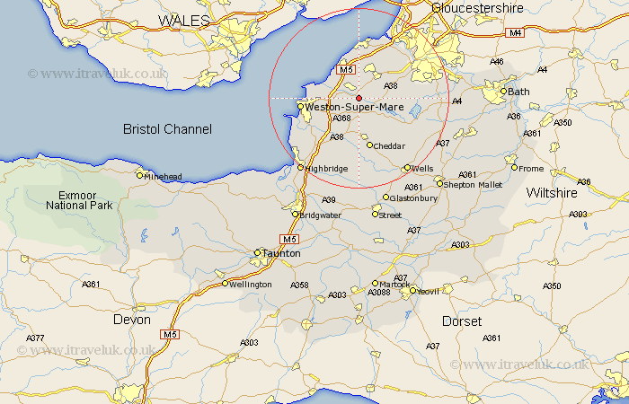
Somerset Map Showing Location of Congresbury
Population: 3376
Area Size (ha): 84
Easting: 344313 Northing: 163429
Latitude: 51.37 Longitude: -2.8
 = Congresbury
Area Size (ha): 84
Easting: 344313 Northing: 163429
Latitude: 51.37 Longitude: -2.8
= Congresbury
This Congresbury map below is supplied by Google. Use the tools in the top left corner to zoom into street level or zoom out for a road map, you may also need to zoom in to see Congresbury on the map. Click and drag the map to move around. If the map fails to load try and refresh your browser or zoom in or out (+ or -).
Update - it seems Google no longer allow people to use their maps for free! This Congresbury map sometimes loads and sometimes gives a error. I am working on a solution.
Closest 30 Towns or Cities to Congresbury (Population over 500)
Yatton 2.18km Wrington 2.31km Churchill 3.71km Sandford 4.38km Locking 6.88km Blagdon 6.88km Banwell 7.24km Shipham 7.42km Nailsea 7.76km Clevedon 8.18km Wick Saint Lawrence 8.31km Wick St Lawrence 8.31km Wick St. Lawrence 8.31km Bourton 8.89km Flax Bourton 8.89km Axbridge 9.27km Wraxall 10.35km Winford 10.57km Hutton 10.8km Weston in Gordano 11.12km Weston 11.12km Weston Down 11.12km Cheddar 11.36km Portishead 11.36km Weare 11.36km Chew Stoke 11.72km Dundry 12.15km Portbury 12.53km Chew Magna 12.73km Great Chew 12.73km