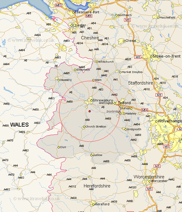
Shropshire Map Showing Location of Condover
Population: 1796
District: Shrewsbury and Atcham
Easting: 349266 Northing: 306110
Latitude: 52.65 Longitude: -2.75
 = Condover
District: Shrewsbury and Atcham
Easting: 349266 Northing: 306110
Latitude: 52.65 Longitude: -2.75
= Condover
This Condover map below is supplied by Google. Use the tools in the top left corner to zoom into street level or zoom out for a road map, you may also need to zoom in to see Condover on the map. Click and drag the map to move around. If the map fails to load try and refresh your browser or zoom in or out (+ or -).
Update - it seems Google no longer allow people to use their maps for free! This Condover map sometimes loads and sometimes gives a error. I am working on a solution.
Closest 30 Towns or Cities to Condover (Population over 500)
Baystonhill 1.86km Berrington 3.37km Great Hanwood 5.82km Hanwood 5.82km Shrewsbury 7.5km Pontesbury 8.99km Cressage 9.19km Ford 10.02km Bicton 10.3km Church Stretton 11.62km Minsterley 12.51km Rodington 12.9km Hadnall 13.17km Wrockwardine 13.55km Westbury 13.99km Much Wenlock 14.6km Rushbury 14.99km Ercall Magna 15.03km High Ercall 15.03km Alberbury 15.39km Shawbury 16.28km Great Ness 16.45km Wellington 16.68km Baschurch 16.78km Shelve 17.41km Broseley 18.37km Hadley 18.82km Ketley 18.82km Telford 19.08km Dawley 19.2km