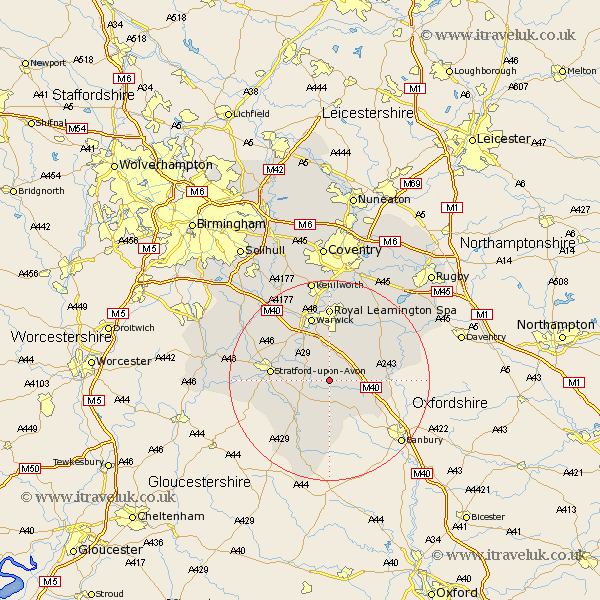
Warwickshire Map Showing Location of Compton Verney
Population: 120
District: Stratford-on-Avon
Easting: 431914 Northing: 252195
Latitude: 52.17 Longitude: -1.53
 = Compton Verney
District: Stratford-on-Avon
Easting: 431914 Northing: 252195
Latitude: 52.17 Longitude: -1.53
= Compton Verney
This Compton Verney map below is supplied by Google. Use the tools in the top left corner to zoom into street level or zoom out for a road map, you may also need to zoom in to see Compton Verney on the map. Click and drag the map to move around. If the map fails to load try and refresh your browser or zoom in or out (+ or -).
Update - it seems Google no longer allow people to use their maps for free! This Compton Verney map sometimes loads and sometimes gives a error. I am working on a solution.
Closest 30 Towns or Cities to Compton Verney (Population over 500)
Lighthorne 2.93km Kineton 2.94km Wellesbourne Hastings 3.88km Wellesbourne 3.88km Eatington 5.87km Ettington 5.87km Bishops Tachbrook 7.41km Bishops Itchington 7.76km Barford 8.69km Whitnash 9.33km Harbury 9.33km Tysoe 9.55km Middle Tysoe 9.55km Church Tysoe 9.55km Fenny Compton 10.4km Stratford on Avon 11.51km Stratford-upon-Avon 11.51km Stratford-on-Avon 11.51km Stratford 11.51km Stratford upon Avon 11.51km Warwick 13.41km Southam 13.79km Ilmington 13.81km Shipston-on-Stour 14.17km Shipston on Stour 14.17km Quinton 14.74km Leamington 14.82km Royal Leamington Spa 14.82km Leamington Spa 14.82km Brailes 14.83km