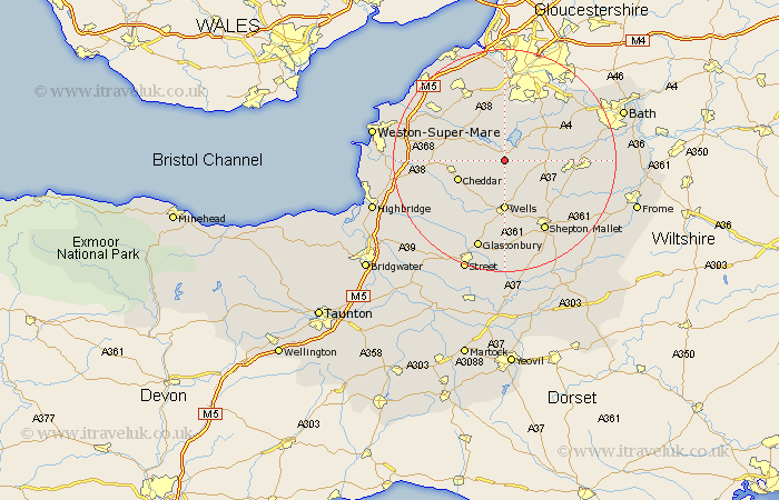
Somerset Map Showing Location of Compton Martin
Population: 508
Easting: 354689 Northing: 155909
Latitude: 51.3 Longitude: -2.65
 = Compton Martin
Easting: 354689 Northing: 155909
Latitude: 51.3 Longitude: -2.65
= Compton Martin
This Compton Martin map below is supplied by Google. Use the tools in the top left corner to zoom into street level or zoom out for a road map, you may also need to zoom in to see Compton Martin on the map. Click and drag the map to move around. If the map fails to load try and refresh your browser or zoom in or out (+ or -).
Update - it seems Google no longer allow people to use their maps for free! This Compton Martin map sometimes loads and sometimes gives a error. I am working on a solution.
Closest 30 Towns or Cities to Compton Martin (Population over 500)
East Harptree 1.16km Chew Stoke 5.68km Blagdon 5.93km Chewton Mendip 5.93km Chew Magna 7.77km Great Chew 7.77km Rodney Stoke 8.03km Farrington Gurney 8.32km Westbury 8.75km Clutton 8.91km Cheddar 8.92km Temple Cloud 9.24km Winford 9.26km Wells 9.26km Priddy 9.84km Paulton 10.43km Shipham 10.43km Axbridge 10.59km Publow 10.99km Wrington 10.99km Farmborough 11.06km Farmboro 11.06km Churchill 11.06km Stratton on the Fosse 11.07km Stratton 11.07km Stratton-on-the-Fosse 11.07km Chilcompton 11.07km Dundry 11.18km Wookey 11.36km Timsbury 11.73km