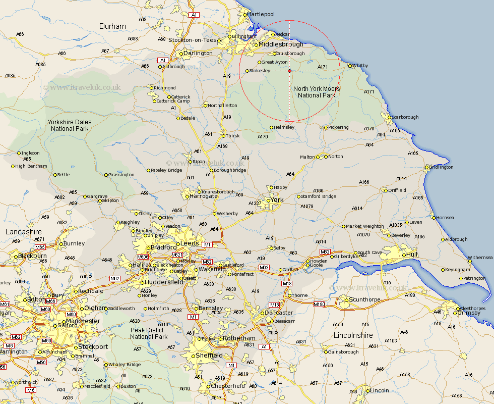
Yorkshire Map Showing Location of Commondale
Population: 129
District: Scarborough
Easting: 466966 Northing: 508431
Latitude: 54.47 Longitude: -0.97
 = Commondale
District: Scarborough
Easting: 466966 Northing: 508431
Latitude: 54.47 Longitude: -0.97
= Commondale
This Commondale map below is supplied by Google. Use the tools in the top left corner to zoom into street level or zoom out for a road map, you may also need to zoom in to see Commondale on the map. Click and drag the map to move around. If the map fails to load try and refresh your browser or zoom in or out (+ or -).
Update - it seems Google no longer allow people to use their maps for free! This Commondale map sometimes loads and sometimes gives a error. I am working on a solution.
Closest 30 Towns or Cities to Commondale (Population over 500)
Guisborough 9.15km Skelton 9.32km Skelton-in-Cleveland 9.32km Ingleby 9.39km Loftus 10.71km Brotton 11.33km Great Ayton 11.38km Eston 12.64km Saltburn 13.01km Saltburn by the Sea 13.01km Saltburn-by-the-Sea 13.01km Great Broughton 13.06km Marske by the Sea 14.4km Marske-by-the-Sea 14.4km Marske 14.4km Hinderwell 14.89km Stokesley 15.08km Seamer 16.16km Middlesborough 16.23km Middlesbrough 16.23km Middlebrough 16.23km South Bank 16.24km South Bank on Tees 16.24km South Bank in Normanby 16.24km South Bank-on-Tees 16.24km Redcar 16.76km Grangetown 17.55km Whorlton 19.15km Middleton upon Leven 19.39km Middleton 19.39km