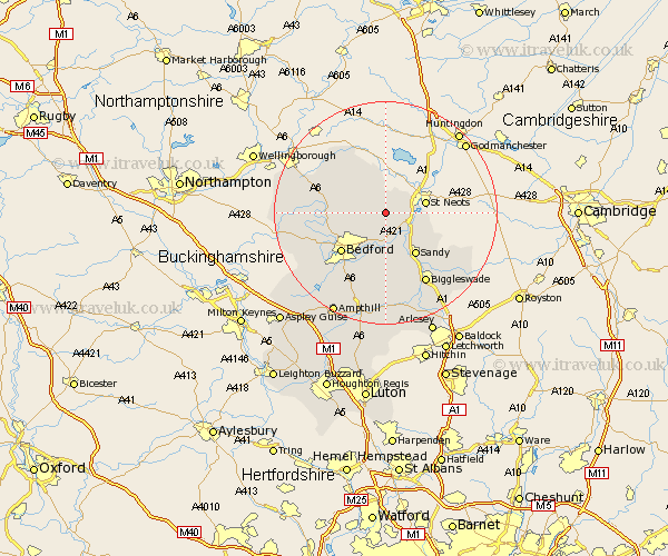
Bedfordshire Map Showing Location of Colmworth
Population: 367
District: Bedford
Easting: 511614 Northing: 257053
Latitude: 52.2 Longitude: -0.37
 = Colmworth
District: Bedford
Easting: 511614 Northing: 257053
Latitude: 52.2 Longitude: -0.37
= Colmworth
This Colmworth map below is supplied by Google. Use the tools in the top left corner to zoom into street level or zoom out for a road map, you may also need to zoom in to see Colmworth on the map. Click and drag the map to move around. If the map fails to load try and refresh your browser or zoom in or out (+ or -).
Update - it seems Google no longer allow people to use their maps for free! This Colmworth map sometimes loads and sometimes gives a error. I am working on a solution.
Closest 30 Towns or Cities to Colmworth (Population over 500)
Bolnhurst 2.93km Great Barford 5.67km Thurleigh 5.68km Roxton 5.86km Tempsford 7.18km Willington 7.42km Blunham 8.16km Riseley 8.79km Sandy 9.28km Cople 9.33km Clapham 9.71km Milton Ernest 10.39km Bedford 10.71km Oakley 10.88km Sharnbrook 11.51km Northill 11.63km Bromham 11.64km Everton 11.73km Biddenham 11.73km Pavenham 12.63km Stevington 13.04km Elstow 13.05km Kempston 13.67km Biggleswade 14.66km Potton 14.66km Wilhamstead 15.51km Willshamstead 15.51km Wilshamstead 15.51km Wilstead 15.51km Harrold 16.01km