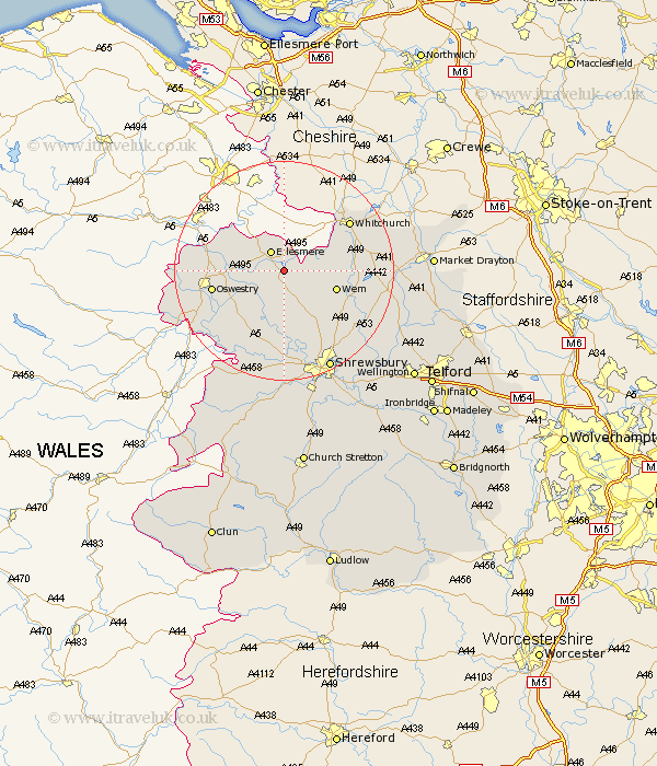
Shropshire Map Showing Location of Colemere
District: North Shropshire
Easting: 342808 Northing: 332133
Latitude: 52.88 Longitude: -2.85
 = Colemere
Easting: 342808 Northing: 332133
Latitude: 52.88 Longitude: -2.85
= Colemere
This Colemere map below is supplied by Google. Use the tools in the top left corner to zoom into street level or zoom out for a road map, you may also need to zoom in to see Colemere on the map. Click and drag the map to move around. If the map fails to load try and refresh your browser or zoom in or out (+ or -).
Update - it seems Google no longer allow people to use their maps for free! This Colemere map sometimes loads and sometimes gives a error. I am working on a solution.
Closest 30 Towns or Cities to Colemere (Population over 500)
Welshampton 1.86km Cockshutt 3.7km Cockshut 3.7km Ellesmere 4.34km Loppington 4.84km Whixall 9.14km Wem 9.69km Whittington 10.23km Baschurch 11.18km West Felton 11.62km Precs 12.3km Prees 12.3km Gobowen 12.3km Oswestry 12.85km Saint Martins 12.95km St. Martins 12.95km St Martins 12.95km Great Ness 13.39km Kinnerley 14.28km Whitchurch 14.52km Stanton upon Hine Heath 15.34km Stanton 15.34km Hadnall 15.76km Selattyn 15.76km Bicton 16.83km Shawbury 17.44km Hodnet 18.28km Pant 18.32km Ford 18.52km Alberbury 19.71km