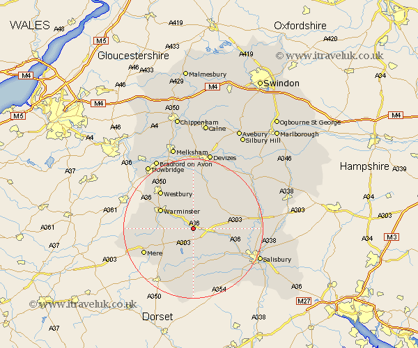
Wiltshire Map Showing Location of Codford
Population: 821
District: West Wiltshire
Easting: 396503 Northing: 139030
Latitude: 51.15 Longitude: -2.05
 = Codford
District: West Wiltshire
Easting: 396503 Northing: 139030
Latitude: 51.15 Longitude: -2.05
= Codford
This Codford map below is supplied by Google. Use the tools in the top left corner to zoom into street level or zoom out for a road map, you may also need to zoom in to see Codford on the map. Click and drag the map to move around. If the map fails to load try and refresh your browser or zoom in or out (+ or -).
Update - it seems Google no longer allow people to use their maps for free! This Codford map sometimes loads and sometimes gives a error. I am working on a solution.
Closest 30 Towns or Cities to Codford (Population over 500)
Heytesbury 5.94km Hindon 8.05km Steeple Langford 8.35km Longford 8.35km Dinton 8.76km Tisbury 9.55km Longbridge Deverill 10.62km Warminster 10.83km Shrewton 11.09km West Lavington 11.65km Fovant 11.65km Bishop's Knoyle 12.33km East Knoyle 12.33km Edington 13.44km Bratton 13.78km South Newton 13.95km Dilton 13.97km Westbury 14.49km Semley 14.74km Wilton 14.79km Erlestoke 14.87km Market Lavington 15.53km Lavington 15.53km Corsley 15.79km Mere 15.81km Lark Hill 16.69km Broad Chalke 16.91km Steeple Ashton 17.66km Bishopstone 18.15km Urchfont 18.55km