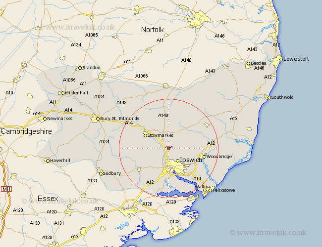
Suffolk Map Showing Location of Coddenham
Population: 521
District: Mid Suffolk
Easting: 613278 Northing: 252959
Latitude: 52.13 Longitude: 1.12
 = Coddenham
District: Mid Suffolk
Easting: 613278 Northing: 252959
Latitude: 52.13 Longitude: 1.12
= Coddenham
This Coddenham map below is supplied by Google. Use the tools in the top left corner to zoom into street level or zoom out for a road map, you may also need to zoom in to see Coddenham on the map. Click and drag the map to move around. If the map fails to load try and refresh your browser or zoom in or out (+ or -).
Update - it seems Google no longer allow people to use their maps for free! This Coddenham map sometimes loads and sometimes gives a error. I am working on a solution.
Closest 30 Towns or Cities to Coddenham (Population over 500)
Henley 2.93km Great Blakenham 3.87km Claydon 5.56km Witnesham 5.87km Wirnesham 5.87km Somersham 5.87km Ipswich 6.52km Bramford 7.49km Otley 8.17km Ringshall 9.1km Great Bricett 9.29km Sproughton 9.33km Sprughton 9.33km Grundisburgh 9.83km Hintlesham 10.32km Debenham 10.33km Stowmarket 10.66km Old Newton 11.51km Haughley 12.99km Finborough 13.05km Great Finborough 13.05km Mendlesham 13.42km Martlesham Heath 13.58km Martlesham 13.7km Melton 14.15km Woodbridge 14.15km Bildeston 14.15km Bucklesham 14.37km Hadleigh 14.68km Hitcham 14.91km