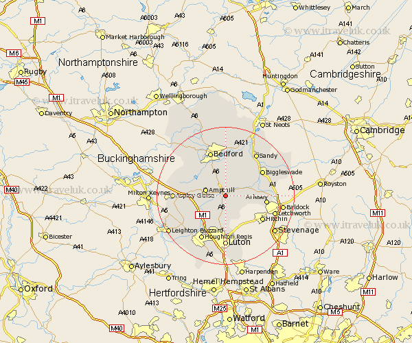
Bedfordshire Map Showing Location of Clophill
Population: 2322
Area Size (ha): 56
District: Mid Bedfordshire
Easting: 508642 Northing: 236594
Latitude: 52.02 Longitude: -0.42
 = Clophill
Area Size (ha): 56
District: Mid Bedfordshire
Easting: 508642 Northing: 236594
Latitude: 52.02 Longitude: -0.42
= Clophill
This Clophill map below is supplied by Google. Use the tools in the top left corner to zoom into street level or zoom out for a road map, you may also need to zoom in to see Clophill on the map. Click and drag the map to move around. If the map fails to load try and refresh your browser or zoom in or out (+ or -).
Update - it seems Google no longer allow people to use their maps for free! This Clophill map sometimes loads and sometimes gives a error. I am working on a solution.
Closest 30 Towns or Cities to Clophill (Population over 500)
Silsoe 1.86km Maulden 2.28km Flitton 2.94km Haynes 3.7km Campton and Chicksands 3.89km Gravenhurst 3.89km Pulloxhill 4.36km Flitwick 4.93km Houghton Conquest 5.04km Wilstead 5.67km Wilshamstead 5.67km Willshamstead 5.67km Wilhamstead 5.67km Shillington 5.88km Shefford 5.99km Ampthill 5.99km Meppershall 6km Stondon 7.09km Westoning 7.19km Barton 7.42km Barton in the Clay 7.42km Clifton 8.19km Southill 8.8km Henlow 9.12km Lidlington 9.31km Streatley 9.34km Marston Moretaine 9.84km Elstow 9.87km Wootton 10.08km Kempston 10.32km