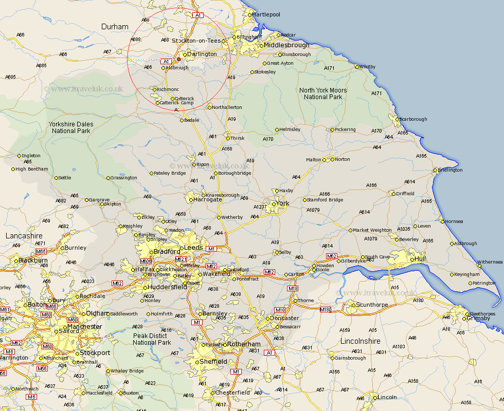
Yorkshire Map Showing Location of Cleasby
Population: 146
District: Richmondshire
Easting: 425891 Northing: 513576
Latitude: 54.52 Longitude: -1.6
 = Cleasby
District: Richmondshire
Easting: 425891 Northing: 513576
Latitude: 54.52 Longitude: -1.6
= Cleasby
This Cleasby map below is supplied by Google. Use the tools in the top left corner to zoom into street level or zoom out for a road map, you may also need to zoom in to see Cleasby on the map. Click and drag the map to move around. If the map fails to load try and refresh your browser or zoom in or out (+ or -).
Update - it seems Google no longer allow people to use their maps for free! This Cleasby map sometimes loads and sometimes gives a error. I am working on a solution.
Closest 30 Towns or Cities to Cleasby (Population over 500)
Barton 6.43km Melsonby 6.54km Middleton Tyas 8.09km East Cowton 11.92km Cowton 11.92km Gilling 11.95km North Cowton 13.37km Scorton 14.83km Richmond 15.58km Catterick 16.82km Brompton 22km Middleton upon Leven 22.23km Middleton 22.23km Northallerton 23.07km Crakehall 24.12km Whorlton 25.2km Seamer 25.37km Osmotherley 25.58km Bedale 25.98km Stokesley 26.42km Leyburn 27.88km Great Broughton 28.96km Middleham 29.5km Middlebrough 29.55km Middlesbrough 29.55km Middlesborough 29.55km South Bank on Tees 29.56km South Bank in Normanby 29.56km South Bank-on-Tees 29.56km South Bank 29.56km