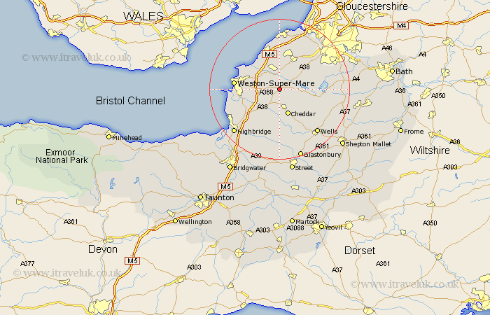
Somerset Map Showing Location of Churchill
Population: 2241
Easting: 344273 Northing: 159715
Latitude: 51.33 Longitude: -2.8
 = Churchill
Easting: 344273 Northing: 159715
Latitude: 51.33 Longitude: -2.8
= Churchill
This Churchill map below is supplied by Google. Use the tools in the top left corner to zoom into street level or zoom out for a road map, you may also need to zoom in to see Churchill on the map. Click and drag the map to move around. If the map fails to load try and refresh your browser or zoom in or out (+ or -).
Update - it seems Google no longer allow people to use their maps for free! This Churchill map sometimes loads and sometimes gives a error. I am working on a solution.
Closest 30 Towns or Cities to Churchill (Population over 500)
Sandford 2.32km Shipham 3.7km Congresbury 3.71km Wrington 4.38km Banwell 4.99km Axbridge 5.56km Yatton 5.68km Blagdon 5.79km Locking 5.79km Cheddar 7.76km Weare 7.76km Hutton 9.45km Priddy 9.55km Wick Saint Lawrence 9.83km Wick St. Lawrence 9.83km Wick St Lawrence 9.83km Rodney Stoke 10.36km Compton Martin 11.06km Bleadon 11.06km Nailsea 11.36km Flax Bourton 11.58km Bourton 11.58km Clevedon 11.65km Chew Stoke 11.73km Winford 11.81km Lympsham 11.82km East Harptree 12.16km Westbury 12.54km Weston-Super-Mare 12.87km Wedmore 13.02km