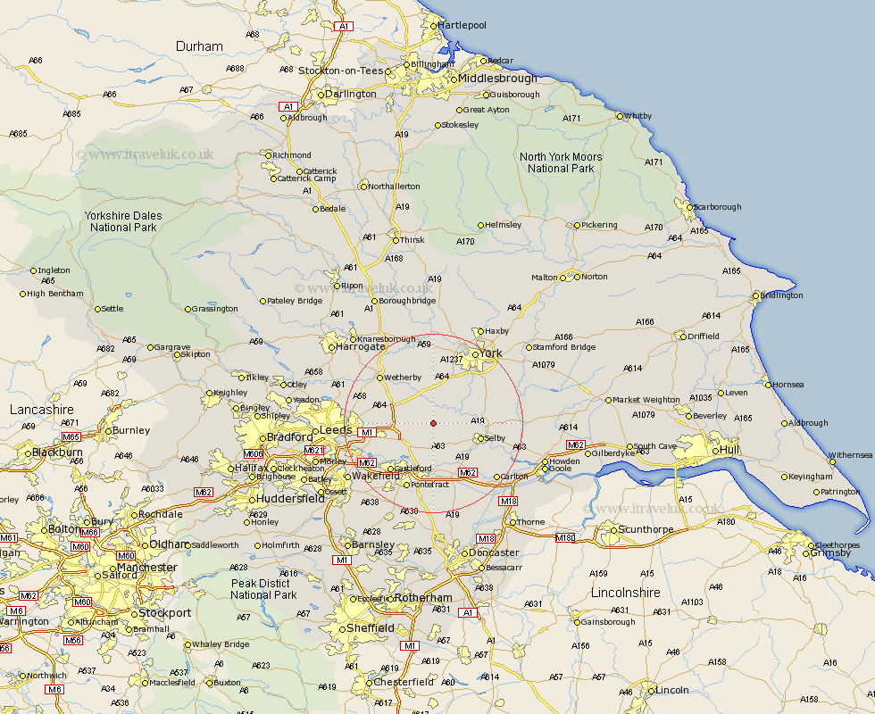
Yorkshire Map Showing Location of Church Fenton
Population: 789
District: Selby
Easting: 451566 Northing: 435910
Latitude: 53.82 Longitude: -1.22
 = Church Fenton
District: Selby
Easting: 451566 Northing: 435910
Latitude: 53.82 Longitude: -1.22
= Church Fenton
This Church Fenton map below is supplied by Google. Use the tools in the top left corner to zoom into street level or zoom out for a road map, you may also need to zoom in to see Church Fenton on the map. Click and drag the map to move around. If the map fails to load try and refresh your browser or zoom in or out (+ or -).
Update - it seems Google no longer allow people to use their maps for free! This Church Fenton map sometimes loads and sometimes gives a error. I am working on a solution.
Closest 30 Towns or Cities to Church Fenton (Population over 500)
Sherburn 2.87km Sherburn in Elmet 2.87km Ulleskelf 3.7km South Milford 5.98km Hambleton 6.46km Cawood 6.82km Monk Fryston 7.5km Aberford 7.66km Wistow 7.66km Micklefield 7.88km Tadcaster 8.1km Brayton 10.37km Selby 10.53km Riccall 11.09km Kippax 11.31km Bramham 11.46km Garforth 11.56km Brotherton 11.59km Acaster Malbis 12.01km Copmanthorpe 12.39km Boston Spa 12.74km Knottingly 13.02km Knottingley 13.02km Scholes 13.13km Escrick 13.21km Thorpe Arch 13.5km Thorp Arch 13.5km Thorner 13.64km Castleford 14.16km Swillington 14.26km