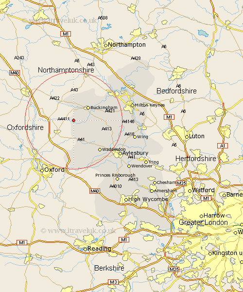
Buckinghamshire Map Showing Location of Chetwode
Population: 80
District: Aylesbury Vale
Easting: 464138 Northing: 228404
Latitude: 51.95 Longitude: -1.07
 = Chetwode
District: Aylesbury Vale
Easting: 464138 Northing: 228404
Latitude: 51.95 Longitude: -1.07
= Chetwode
This Chetwode map below is supplied by Google. Use the tools in the top left corner to zoom into street level or zoom out for a road map, you may also need to zoom in to see Chetwode on the map. Click and drag the map to move around. If the map fails to load try and refresh your browser or zoom in or out (+ or -).
Update - it seems Google no longer allow people to use their maps for free! This Chetwode map sometimes loads and sometimes gives a error. I am working on a solution.
Closest 30 Towns or Cities to Chetwode (Population over 500)
Twyford 2.94km Tingewick 3.87km Gawcott 4.93km Marsh Gibbon 5.68km Claydon 6.01km Steeple Claydon 6.01km Buckingham 7.97km Stowe 8.17km Padbury 8.21km Maids Moreton 8.82km Grendon Underwood 10.33km Thornborough 10.92km Akeley 11.52km Winslow 13.71km Great Horwood 13.83km Quainton 13.85km Brill 14.87km North Marston 15.59km Waddesdon 16.56km Oakley 16.68km Mursley 17.24km Whitchurch 17.64km Whitechurch 17.64km Stony Stratford 18.54km Worminghall 20.39km Warminghall 20.39km Wolverton 20.41km Newton Longville 20.64km Shenley 20.77km Shenley Church End 20.77km