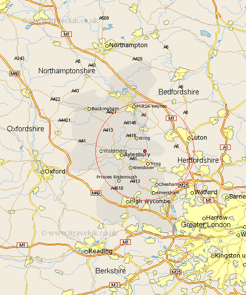
Buckinghamshire Map Showing Location of Cheddington
Population: 1852
District: Aylesbury Vale
Easting: 491862 Northing: 215855
Latitude: 51.83 Longitude: -0.67
 = Cheddington
District: Aylesbury Vale
Easting: 491862 Northing: 215855
Latitude: 51.83 Longitude: -0.67
= Cheddington
This Cheddington map below is supplied by Google. Use the tools in the top left corner to zoom into street level or zoom out for a road map, you may also need to zoom in to see Cheddington on the map. Click and drag the map to move around. If the map fails to load try and refresh your browser or zoom in or out (+ or -).
Update - it seems Google no longer allow people to use their maps for free! This Cheddington map sometimes loads and sometimes gives a error. I am working on a solution.
Closest 30 Towns or Cities to Cheddington (Population over 500)
Marsworth 1.85km Ivinghoe 3.44km Pitstone 3.9km Slapton 4.36km Aston Clinton 5.05km Buckland 5.05km Edlesborough 6.02km Wing 6.53km Halton 7.21km Weston Turville 7.98km Aylesbury 9.35km Wendover 9.37km Stoke Mandeville 9.76km Stewkley 10.9km Soulbury 11.64km Ellesborough 12.25km Whitechurch 12.72km Whitchurch 12.72km Lee 13.02km Great Brickhill 13.03km Stone 13.13km Stoke Hammond 13.42km Kimble 14.41km Great Kimble 14.41km North Marston 14.82km Great Missenden 15km Mursley 15.15km Chesham 15.52km Prestwood 15.52km Newton Longville 16.34km