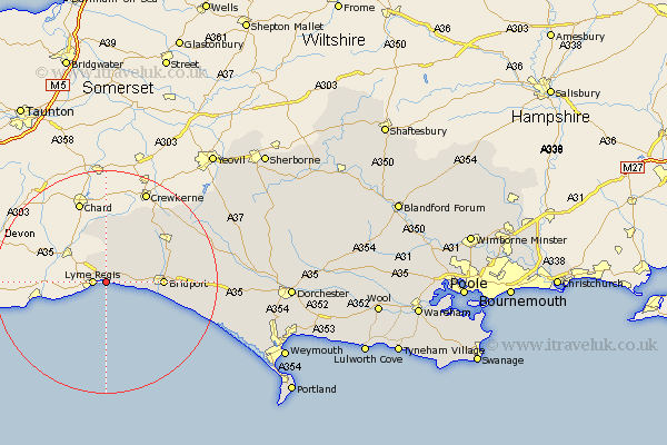
Dorset Map Showing Location of Charmouth
Population: 1305
District: West Dorset
Easting: 336492 Northing: 93081
Latitude: 50.73 Longitude: -2.9
 = Charmouth
District: West Dorset
Easting: 336492 Northing: 93081
Latitude: 50.73 Longitude: -2.9
= Charmouth
This Charmouth map below is supplied by Google. Use the tools in the top left corner to zoom into street level or zoom out for a road map, you may also need to zoom in to see Charmouth on the map. Click and drag the map to move around. If the map fails to load try and refresh your browser or zoom in or out (+ or -).
Update - it seems Google no longer allow people to use their maps for free! This Charmouth map sometimes loads and sometimes gives a error. I am working on a solution.
Closest 30 Towns or Cities to Charmouth (Population over 500)
Lyme Regis 2.35km Chideock 6.15km Thorncombe 9.35km Bridport 10.09km Broadwinsor 11.64km Broadwindsor 11.64km Bradpole 11.73km Netherbury 11.93km Beaminster 12.9km Loders 12.9km Burton Bradstock 13.43km Mosterton 16.01km Abbotsbury 22.39km Maiden Newton 23.74km Portesham 24.62km Portisham 24.62km Leigh 28.72km Yetminster 29.87km Bradford Abbas 30.18km West Chickerel 31.03km Chickerell 31.03km Cerne Abbas 31.37km Charminster 31.67km Dorchester 32.9km Bincombe 33.02km Buckland Newton 33.53km Piddletrenthide 34.45km Puddletrenthide 34.45km Weymouth 34.55km Overcombe 34.7km