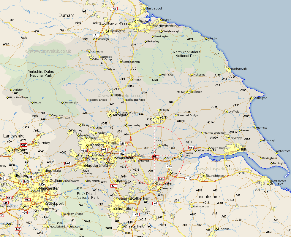
Yorkshire Map Showing Location of Chapel Haddlesey
Population: 197
District: Selby
Easting: 458287 Northing: 424863
Latitude: 53.72 Longitude: -1.12
 = Chapel Haddlesey
District: Selby
Easting: 458287 Northing: 424863
Latitude: 53.72 Longitude: -1.12
= Chapel Haddlesey
This Chapel Haddlesey map below is supplied by Google. Use the tools in the top left corner to zoom into street level or zoom out for a road map, you may also need to zoom in to see Chapel Haddlesey on the map. Click and drag the map to move around. If the map fails to load try and refresh your browser or zoom in or out (+ or -).
Update - it seems Google no longer allow people to use their maps for free! This Chapel Haddlesey map sometimes loads and sometimes gives a error. I am working on a solution.
Closest 30 Towns or Cities to Chapel Haddlesey (Population over 500)
Hensall 2.16km Whitley 4.31km Brayton 5.98km Hambleton 6.46km Pollington 6.46km Snaith 6.63km Carlton 6.84km Barlow 7.55km Knottingly 7.9km Knottingley 7.9km Selby 8.1km Monk Fryston 8.52km Brotherton 9.87km Norton 10.26km South Milford 10.38km Cliffe Common 10.38km Hemingbrough 10.38km Cliff Common Station 10.38km Darrington 10.39km Wistow 11.17km Askern 11.18km Rawcliffe 11.58km Campsall 11.96km Pontefract 12.63km Sherburn 12.75km Sherburn in Elmet 12.75km Church Fenton 12.92km Cawood 12.97km Sutton 13.39km Riccall 13.69km