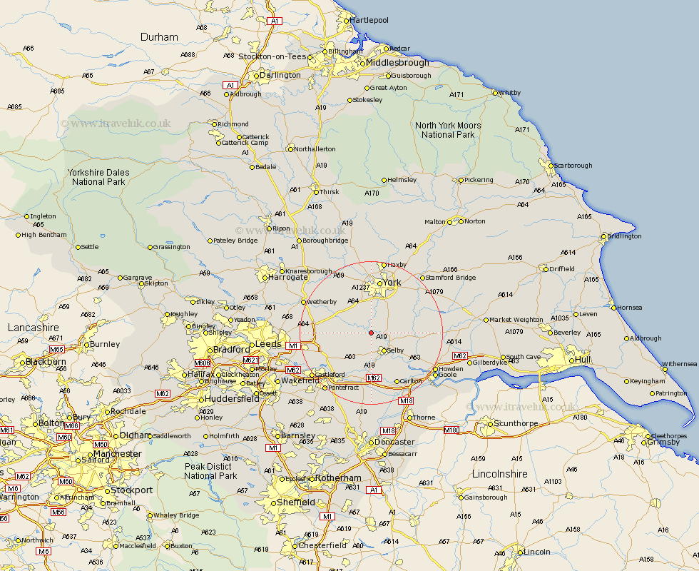
Yorkshire Map Showing Location of Cawood
Population: 1429
District: Selby
Easting: 458126 Northing: 437834
Latitude: 53.83 Longitude: -1.12
 = Cawood
District: Selby
Easting: 458126 Northing: 437834
Latitude: 53.83 Longitude: -1.12
= Cawood
This Cawood map below is supplied by Google. Use the tools in the top left corner to zoom into street level or zoom out for a road map, you may also need to zoom in to see Cawood on the map. Click and drag the map to move around. If the map fails to load try and refresh your browser or zoom in or out (+ or -).
Update - it seems Google no longer allow people to use their maps for free! This Cawood map sometimes loads and sometimes gives a error. I am working on a solution.
Closest 30 Towns or Cities to Cawood (Population over 500)
Wistow 2.15km Riccall 4.37km Selby 6.46km Church Fenton 6.82km Ulleskelf 6.82km Escrick 7.07km Acaster Malbis 7.5km Brayton 7.72km Hambleton 8.1km Copmanthorpe 9.34km Sherburn in Elmet 9.5km Sherburn 9.5km Bishopthorne 11.17km Bishopthorpe 11.17km Tadcaster 11.3km Wheldrake 11.3km Barlow 11.36km South Milford 11.47km Cliffe Common 11.47km Hemingbrough 11.47km Cliff Common Station 11.47km Monk Fryston 12.02km Bubwith 13.26km Heslington 14.08km Rufforth 14.08km Aberford 14.34km Micklefield 14.7km Hensall 14.86km Clifton 14.87km Upper Poppleton 14.99km