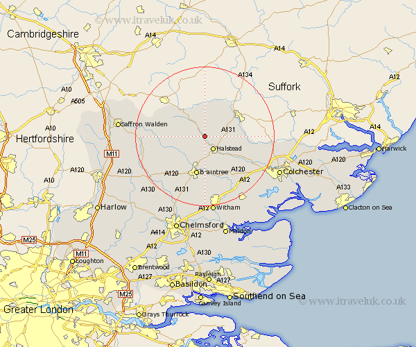
Essex Map Showing Location of Castle Hedingham
Population: 1142
District: Braintree
Easting: 578525 Northing: 234888
Latitude: 51.98 Longitude: 0.6
 = Castle Hedingham
District: Braintree
Easting: 578525 Northing: 234888
Latitude: 51.98 Longitude: 0.6
= Castle Hedingham
This Castle Hedingham map below is supplied by Google. Use the tools in the top left corner to zoom into street level or zoom out for a road map, you may also need to zoom in to see Castle Hedingham on the map. Click and drag the map to move around. If the map fails to load try and refresh your browser or zoom in or out (+ or -).
Update - it seems Google no longer allow people to use their maps for free! This Castle Hedingham map sometimes loads and sometimes gives a error. I am working on a solution.
Closest 30 Towns or Cities to Castle Hedingham (Population over 500)
Sible Hedingham 2.17km Halstead 4.35km Yeldham 4.36km Great Yeldham 4.36km Toppesfield 4.93km Gosfield 5.68km Bulmer 6.81km Ridgwell 8.71km Ridgewell 8.71km Wethersfield 8.81km Shalford 8.82km Earls Colne 8.82km Great Bardfield 9.74km Finchingfield 10.44km Stisted 11.18km Braintree 11.35km Steeple Bumpstead 11.68km Panfield 12.5km Wakes Colne 12.67km Rayne 13.02km Bradwell 13.02km Chapel 13.61km Chappel 13.61km Great Sampford 13.7km Great Tey 13.84km Coggeshall 14.17km Cressing 14.82km Black Notley 15.21km Fordham 15.58km Thaxted 16.41km