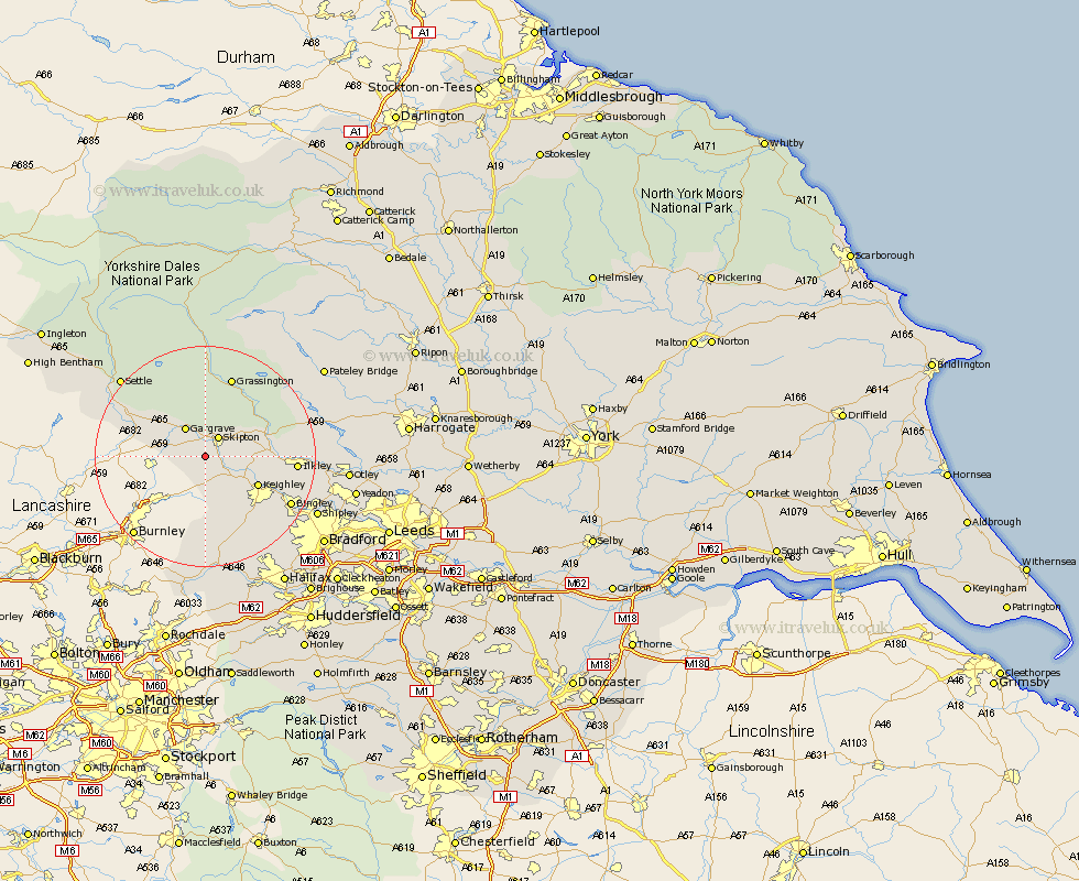
Yorkshire Map Showing Location of Carleton
Population: 973
District: Craven
Easting: 396717 Northing: 448598
Latitude: 53.93 Longitude: -2.05
 = Carleton
District: Craven
Easting: 396717 Northing: 448598
Latitude: 53.93 Longitude: -2.05
= Carleton
This Carleton map below is supplied by Google. Use the tools in the top left corner to zoom into street level or zoom out for a road map, you may also need to zoom in to see Carleton on the map. Click and drag the map to move around. If the map fails to load try and refresh your browser or zoom in or out (+ or -).
Update - it seems Google no longer allow people to use their maps for free! This Carleton map sometimes loads and sometimes gives a error. I am working on a solution.
Closest 30 Towns or Cities to Carleton (Population over 500)
Cononley 2.86km Skipton 4.31km Earby 4.74km Glusburn 4.94km Embsay 5.73km Gargrave 6.45km Sutton-in-Craven 7.07km Silsden 8.49km Steeton 8.59km Keighley 10.35km Addingham 10.91km Hellifield 12.24km Threshfield 13.16km Haworth 14.53km Long Preston 15.04km Ilkley 15.39km Grassington 15.46km Oxenhope 16.21km Cullingworth 16.27km Bingley 16.95km Wilsden 17.68km Giggleswick 19.21km Denholme 19.36km Burley 19.73km Burley in Wharfedale 19.73km Queensbury 20.49km Heptonstall 20.5km Hebden Bridge 20.5km Settle 20.51km Baildon 20.75km