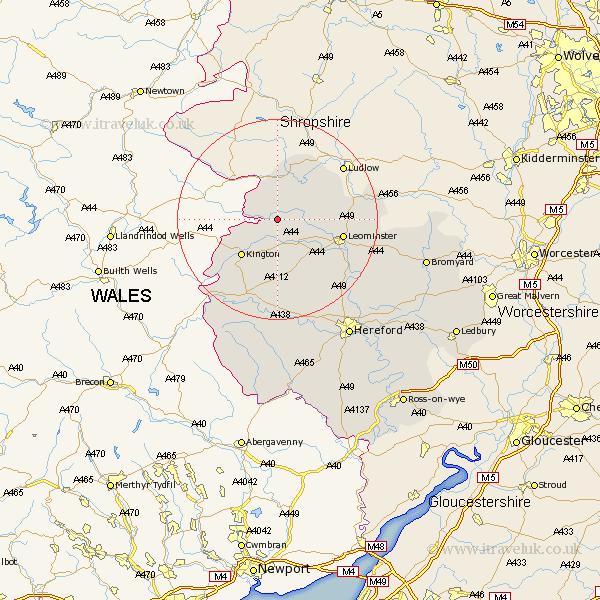
Herefordshire Map Showing Location of Byton
Population: 93
Easting: 337451 Northing: 263610
Latitude: 52.27 Longitude: -2.92
 = Byton
Easting: 337451 Northing: 263610
Latitude: 52.27 Longitude: -2.92
= Byton
This Byton map below is supplied by Google. Use the tools in the top left corner to zoom into street level or zoom out for a road map, you may also need to zoom in to see Byton on the map. Click and drag the map to move around. If the map fails to load try and refresh your browser or zoom in or out (+ or -).
Update - it seems Google no longer allow people to use their maps for free! This Byton map sometimes loads and sometimes gives a error. I am working on a solution.
Closest 30 Towns or Cities to Byton (Population over 500)
Shobdon 3.88km Pembridge 5.67km Wigmore 7.17km Eardisland 7.18km Croft 8.15km Kingsland 8.15km Lyonshall 8.7km Dilwyn 9.88km Kington 10.07km Luston 11.34km Leintwardine 11.63km Weobley 11.63km Orleton 11.93km Leominster 13.02km Almeley 13.75km Brimfield 15.2km Eardisley 15.88km Wellington 18.68km Credenhill 20.17km Bodenham 20.52km Burghill 21.17km Moreton-on-Lugg 22.36km Moreton on Lugg 22.36km Moreton 22.36km Clifford 22.36km Sutton 24.43km Peterchurch 26.05km Madley 26.35km Withington 26.77km Hereford 27.69km