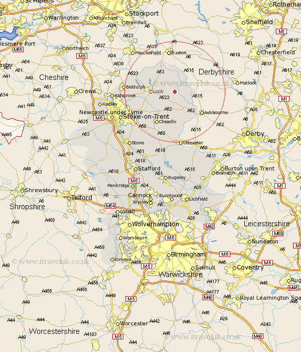
Staffordshire Map Showing Location of Butterton
Population: 213
District: Staffordshire Moorlands
Easting: 407810 Northing: 355905
Latitude: 53.1 Longitude: -1.88
 = Butterton
District: Staffordshire Moorlands
Easting: 407810 Northing: 355905
Latitude: 53.1 Longitude: -1.88
= Butterton
This Butterton map below is supplied by Google. Use the tools in the top left corner to zoom into street level or zoom out for a road map, you may also need to zoom in to see Butterton on the map. Click and drag the map to move around. If the map fails to load try and refresh your browser or zoom in or out (+ or -).
Update - it seems Google no longer allow people to use their maps for free! This Butterton map sometimes loads and sometimes gives a error. I am working on a solution.
Closest 30 Towns or Cities to Butterton (Population over 500)
Waterhouses 7.5km Leek 8.9km Ipstones 9.27km Oakamoor 11.34km Kingsley 11.42km Cheddleton 11.46km Horton 13.48km Mayfield 13.58km Cheadle 14.6km Alton 14.82km Denston 14.99km Denstone 14.99km Endon 15.69km Rocester 17.01km Caverswall 17.85km Draycott in the Moors 17.9km Draycott 17.9km Biddulph 19km Checkley 19.06km Fulford 20.7km Leigh 21.13km Church Leigh 21.13km Uttoxeter 22.35km Stoke-on-Trent 22.93km Stoke on Trent 22.93km Stoke-upon-Trent 22.93km Stoke 22.93km Stoke upon Trent 22.93km Kidsgrove 23.45km Hilderstone 24.38km