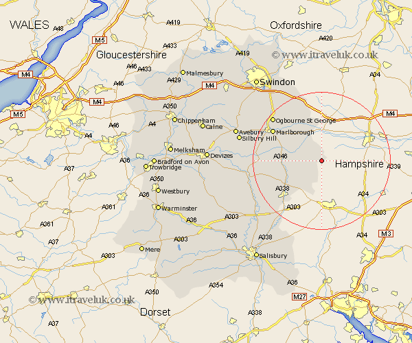
Wiltshire Map Showing Location of Buttermere
Population: 38
District: Kennet
Easting: 433668 Northing: 159523
Latitude: 51.33 Longitude: -1.52
 = Buttermere
District: Kennet
Easting: 433668 Northing: 159523
Latitude: 51.33 Longitude: -1.52
= Buttermere
This Buttermere map below is supplied by Google. Use the tools in the top left corner to zoom into street level or zoom out for a road map, you may also need to zoom in to see Buttermere on the map. Click and drag the map to move around. If the map fails to load try and refresh your browser or zoom in or out (+ or -).
Update - it seems Google no longer allow people to use their maps for free! This Buttermere map sometimes loads and sometimes gives a error. I am working on a solution.
Closest 30 Towns or Cities to Buttermere (Population over 500)
Shalbourn 2.97km Shalbourne 2.97km Bedwyn 6.88km Great Bedwyn 6.88km Grafton 8.11km Burbage 10.42km Collingbourne Ducis 10.81km Ramsbury 12.53km Tidworth 15.25km North Tidworth 15.25km Pewsey 16.21km Aldbourne 16.38km Marlborough 16.69km Lugershall 17.49km Ludgershall 17.49km Baydon 17.65km Upavon 21.58km Netheravon 21.62km Enford 21.77km Figheldean 22.63km Bulford 22.85km Chiseldon 23.15km Bishopstone 23.66km Durrington 24.1km Wanborough 25.61km Amesbury 26.22km Idmiston 26.24km Lark Hill 26.72km Wroughton 27.53km Broad Hinton 27.58km