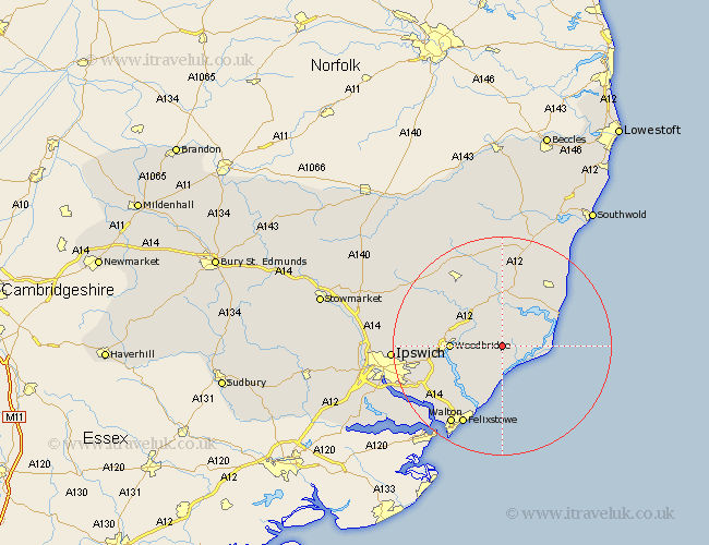
Suffolk Map Showing Location of Butley
Population: 201
District: Suffolk Coastal
Easting: 636258 Northing: 250290
Latitude: 52.1 Longitude: 1.45
 = Butley
District: Suffolk Coastal
Easting: 636258 Northing: 250290
Latitude: 52.1 Longitude: 1.45
= Butley
This Butley map below is supplied by Google. Use the tools in the top left corner to zoom into street level or zoom out for a road map, you may also need to zoom in to see Butley on the map. Click and drag the map to move around. If the map fails to load try and refresh your browser or zoom in or out (+ or -).
Update - it seems Google no longer allow people to use their maps for free! This Butley map sometimes loads and sometimes gives a error. I am working on a solution.
Closest 30 Towns or Cities to Butley (Population over 500)
Rendlesham 2.94km Tunstall 3.7km Hollesley 5.67km Orford 5.99km Ufford 7.08km Sutton 7.77km Wickham Market 7.95km Melton 9.11km Woodbridge 9.11km Snape 9.87km Martlesham 10.41km Aldeburgh 11.65km Martlesham Heath 11.98km Saxmundham 13.42km Thorpe 13.58km Thorpeness 13.58km Grundisburgh 13.66km Leiston 13.68km Kirkton 14.38km Kirton 14.38km Framlingham 15.22km Bucklesham 15.55km Otley 15.8km Felixstowe 16.32km Walton 17.28km Nacton 17.47km Wirnesham 18.21km Witnesham 18.21km Yoxford 19.09km Ipswich 19.44km