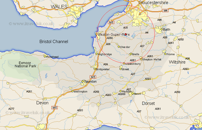
Somerset Map Showing Location of Butcombe
Population: 232
Easting: 351256 Northing: 161501
Latitude: 51.35 Longitude: -2.7
 = Butcombe
Easting: 351256 Northing: 161501
Latitude: 51.35 Longitude: -2.7
= Butcombe
This Butcombe map below is supplied by Google. Use the tools in the top left corner to zoom into street level or zoom out for a road map, you may also need to zoom in to see Butcombe on the map. Click and drag the map to move around. If the map fails to load try and refresh your browser or zoom in or out (+ or -).
Update - it seems Google no longer allow people to use their maps for free! This Butcombe map sometimes loads and sometimes gives a error. I am working on a solution.
Closest 30 Towns or Cities to Butcombe (Population over 500)
Blagdon 2.19km Chew Stoke 4.63km Wrington 4.99km Winford 5.08km Great Chew 6.08km Chew Magna 6.08km Compton Martin 6.56km Congresbury 7.19km Churchill 7.19km Dundry 7.23km East Harptree 7.24km Bourton 7.42km Flax Bourton 7.42km Shipham 8.9km Yatton 8.91km Sandford 9.45km Long Ashton 9.89km Axbridge 10.16km Nailsea 10.35km Cheddar 10.36km Whitchurch 10.8km Wraxall 11.36km Rodney Stoke 11.36km Publow 11.72km Clutton 11.72km Temple Cloud 11.81km Priddy 12.05km Banwell 12.16km Chewton Mendip 12.31km Locking 12.87km