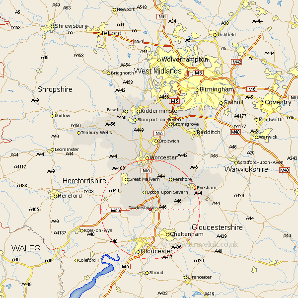
Worcestershire Map Showing Location of Bushley
Population: 390
District: Malvern Hills
Easting: 387415 Northing: 233569
Latitude: 52 Longitude: -2.18
 = Bushley
District: Malvern Hills
Easting: 387415 Northing: 233569
Latitude: 52 Longitude: -2.18
= Bushley
This Bushley map below is supplied by Google. Use the tools in the top left corner to zoom into street level or zoom out for a road map, you may also need to zoom in to see Bushley on the map. Click and drag the map to move around. If the map fails to load try and refresh your browser or zoom in or out (+ or -).
Update - it seems Google no longer allow people to use their maps for free! This Bushley map sometimes loads and sometimes gives a error. I am working on a solution.
Closest 30 Towns or Cities to Bushley (Population over 500)
Ripple 3.7km Bredon 5.88km Upton upon Severn 7.76km Upton on Severn 7.76km Upton-on-Severn 7.76km Upton 7.76km Eldersfield 8.2km Eckington 8.71km Castlemorton 8.8km Welland 9.73km Hanley Castle 9.87km Defford 10.32km Beckford 10.43km Seven Stoke 11.35km Severn Stoke 11.35km Ashton under Hill 13.08km Ashton-under-Hill 13.08km Wadborough 13.18km Malvern Wells 13.82km Kempsey 14.87km Pershore 15.23km Sedgeberrow 15.28km Cropthorne 15.59km Malvern 15.86km Great Malvern 15.86km Fladbury 17.27km Peopleton 17.62km Charlton 17.63km Powick 19.09km Evesham 19.45km