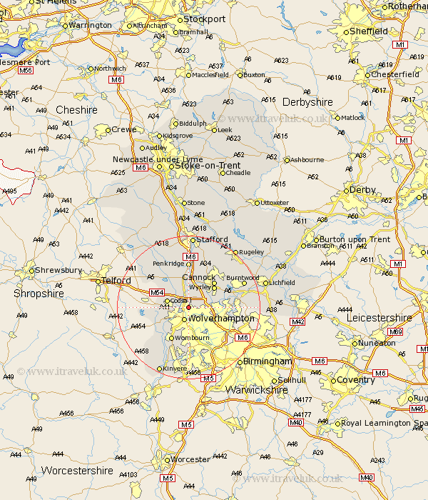
Staffordshire Map Showing Location of Bushbury
District: Wolverhampton
Easting: 392101 Northing: 302148
Latitude: 52.62 Longitude: -2.12
 = Bushbury
Easting: 392101 Northing: 302148
Latitude: 52.62 Longitude: -2.12
= Bushbury
This Bushbury map below is supplied by Google. Use the tools in the top left corner to zoom into street level or zoom out for a road map, you may also need to zoom in to see Bushbury on the map. Click and drag the map to move around. If the map fails to load try and refresh your browser or zoom in or out (+ or -).
Update - it seems Google no longer allow people to use their maps for free! This Bushbury map sometimes loads and sometimes gives a error. I am working on a solution.
Closest 30 Towns or Cities to Bushbury (Population over 500)
Wolverhampton 3.88km Codsall 5.92km Shareshill 6km Bilston 6.51km Lower Penn 7.91km Walsall 8.09km Wallsall 8.09km Brewood 8.14km Great Wyrley 8.94km Wyrley 8.94km Cannock 10.02km Wombourn 10.31km Wombourne 10.31km Scisdon 10.58km Seisdon 10.58km Pattingham 10.79km Huntington 10.84km Pelsall 11.25km Himley 11.35km Rushall 11.41km Hednesford 12.15km Brownhills 12.51km Norton Canes 12.54km Penkridge 12.97km Wheaton Aston 13km Dudley 13.17km West Bromwich 13.63km Aldridge 13.63km Weston 14.57km Weston-under-Lizard 14.57km