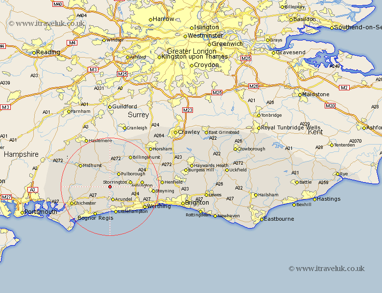
Sussex Map Showing Location of Bury
Population: 691
District: Chichester
Easting: 500780 Northing: 112209
Latitude: 50.9 Longitude: -0.57
 = Bury
District: Chichester
Easting: 500780 Northing: 112209
Latitude: 50.9 Longitude: -0.57
= Bury
This Bury map below is supplied by Google. Use the tools in the top left corner to zoom into street level or zoom out for a road map, you may also need to zoom in to see Bury on the map. Click and drag the map to move around. If the map fails to load try and refresh your browser or zoom in or out (+ or -).
Update - it seems Google no longer allow people to use their maps for free! This Bury map sometimes loads and sometimes gives a error. I am working on a solution.
Closest 30 Towns or Cities to Bury (Population over 500)
Amberley 2.98km Coldwaltham 4.38km Fittleworth 5.56km Arundel 5.68km Pulborough 6.57km Walberton 6.57km Slindon 7.27km Storrington 8.42km Graffham 8.98km West Chillington 8.98km West Chiltington 8.98km Ford 9.34km Eastergate 9.45km Petworth 9.55km Tillington 9.9km Westergate 10.37km Barnham 10.38km Angmering 10.95km Thakeham 11.15km Yapton 11.36km Littlehampton 11.36km Washington 11.69km Boxgrove 11.9km Tangmere 11.9km Rustington 12.06km Oving 12.88km Findon 12.95km Ashington 12.99km Kirdford 13.03km Bognor Regis 13.23km