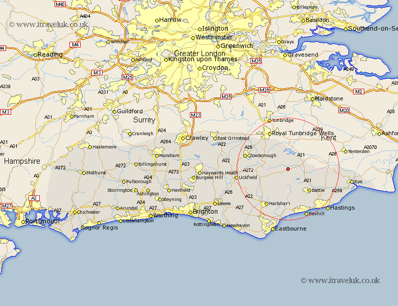
Sussex Map Showing Location of Burwash
Population: 2525
District: Rother
Easting: 567211 Northing: 125053
Latitude: 51 Longitude: 0.38
 = Burwash
District: Rother
Easting: 567211 Northing: 125053
Latitude: 51 Longitude: 0.38
= Burwash
This Burwash map below is supplied by Google. Use the tools in the top left corner to zoom into street level or zoom out for a road map, you may also need to zoom in to see Burwash on the map. Click and drag the map to move around. If the map fails to load try and refresh your browser or zoom in or out (+ or -).
Update - it seems Google no longer allow people to use their maps for free! This Burwash map sometimes loads and sometimes gives a error. I am working on a solution.
Closest 30 Towns or Cities to Burwash (Population over 500)
Etchingham 3.5km Ticehurst 4.38km Hurst Green 5.83km Robertsbridge 6.12km Wadhurst 6.57km Mayfield 9.33km Mountfield 9.44km Heathfield 9.88km Warbleton 10.2km Rotherfield 12.23km Frant 12.34km Battle 12.35km Horeham 13.15km Horam 13.15km Herstmonceux 13.44km Hurstmonceux 13.44km Hurstmonceaux 13.44km Catsfield 13.79km Sedlescombe 14.01km Hadlow Down 14.12km Ninfield 15.01km Northiam 15.28km Crowhurst 16.93km Hailsham 16.93km Westfield 16.99km Crowborough 17.24km Hellingly 17.52km Buxted 17.6km East Hoathly 17.78km Brede 17.78km