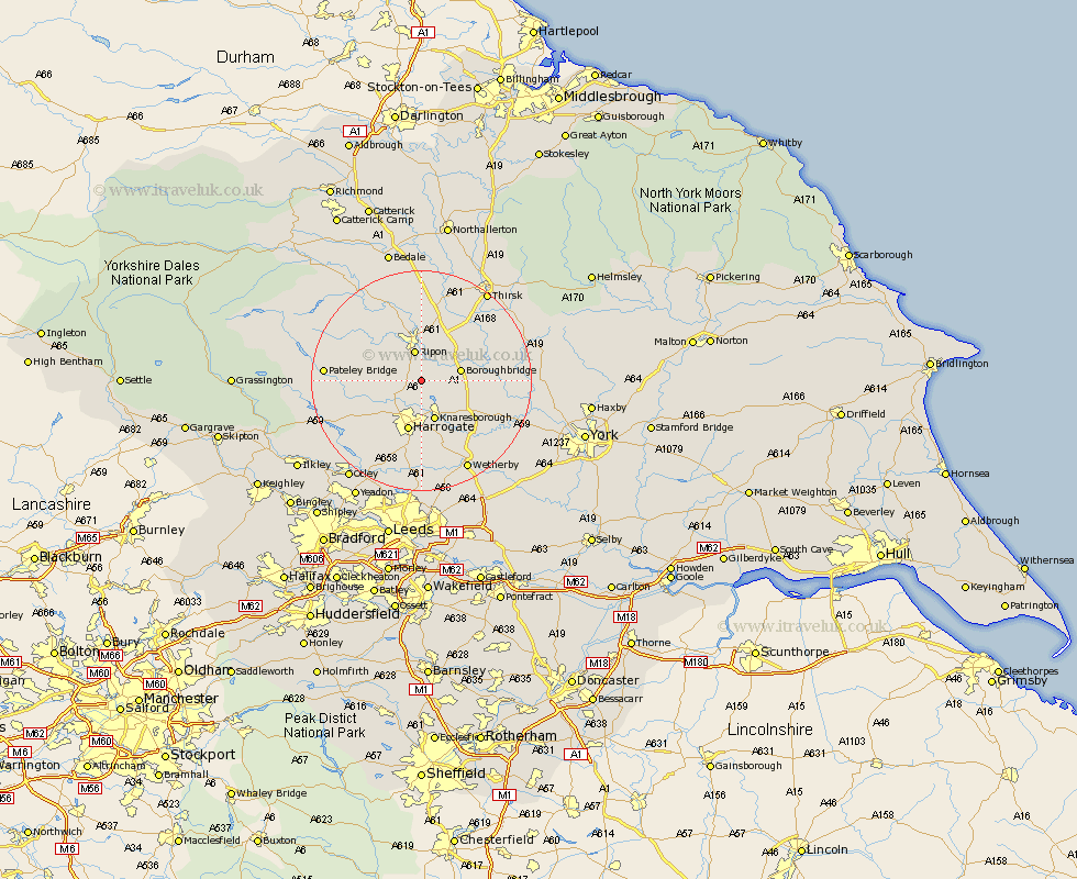
Yorkshire Map Showing Location of Burton Leonard
Population: 654
District: Harrogate
Easting: 432719 Northing: 463553
Latitude: 54.07 Longitude: -1.5
 = Burton Leonard
District: Harrogate
Easting: 432719 Northing: 463553
Latitude: 54.07 Longitude: -1.5
= Burton Leonard
This Burton Leonard map below is supplied by Google. Use the tools in the top left corner to zoom into street level or zoom out for a road map, you may also need to zoom in to see Burton Leonard on the map. Click and drag the map to move around. If the map fails to load try and refresh your browser or zoom in or out (+ or -).
Update - it seems Google no longer allow people to use their maps for free! This Burton Leonard map sometimes loads and sometimes gives a error. I am working on a solution.
Closest 30 Towns or Cities to Burton Leonard (Population over 500)
Burton Leonard 0km Bishop Monkton 1.85km Monkton 1.85km Ripon 5.67km Killinghall 6.45km Boroughbridge 6.78km Knaresborough 7.73km Birstwith 8.47km Hampsthwaite 8.58km Marton le Moor 8.7km Marton 8.7km Harrogate 9.53km Dishforth 10.74km Ouseburn 12.11km Great Ouseburn 12.11km Pannal 13.16km Whixley 13.2km Darley 13.57km Dacre 14.26km Kirkby Malzeard 14.81km Green Hammerton 15.02km Topcliffe 15.03km Tanfield 15.45km West Tanfield 15.45km Hammerton 16.02km Kirk Hammerton 16.02km Grewelthorpe 16.24km Linton on Ouse 16.74km Linton upon Ouse 16.74km Linton 16.74km