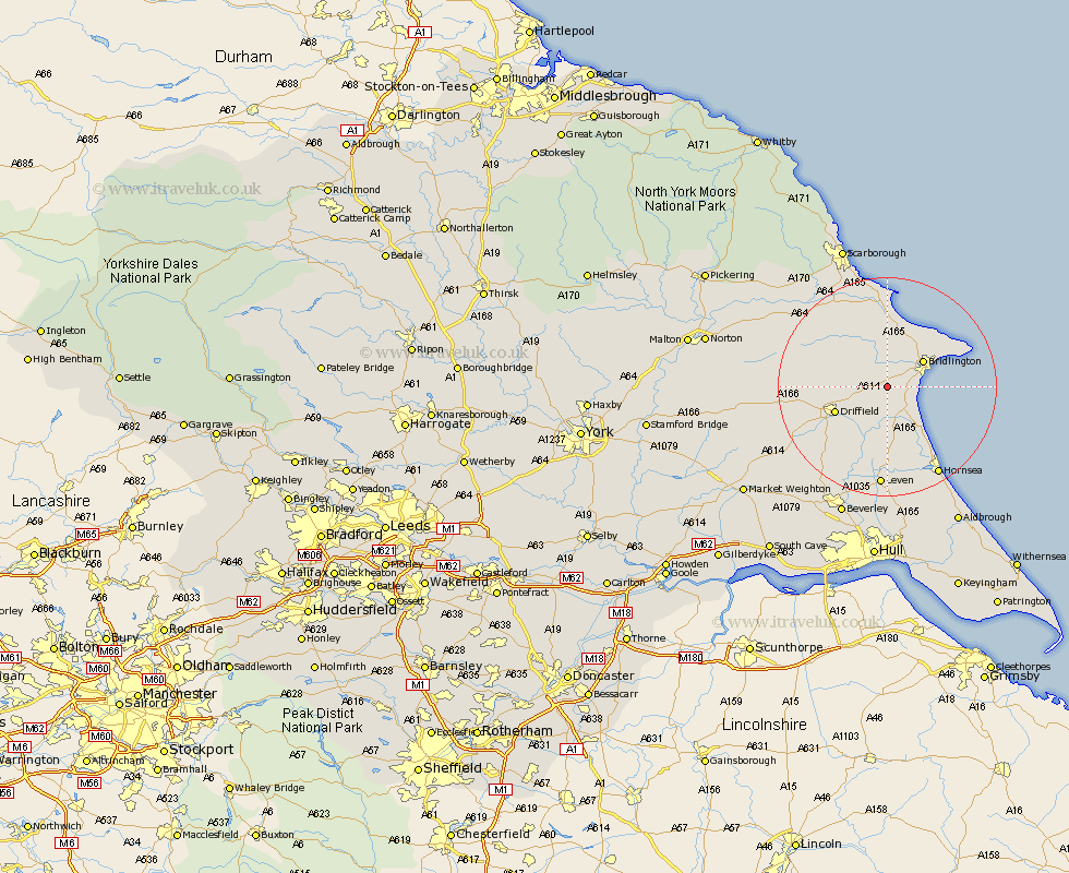
Yorkshire Map Showing Location of Burton Agnes
Population: 496
Easting: 511284 Northing: 462916
Latitude: 54.05 Longitude: -0.3
 = Burton Agnes
Easting: 511284 Northing: 462916
Latitude: 54.05 Longitude: -0.3
= Burton Agnes
This Burton Agnes map below is supplied by Google. Use the tools in the top left corner to zoom into street level or zoom out for a road map, you may also need to zoom in to see Burton Agnes on the map. Click and drag the map to move around. If the map fails to load try and refresh your browser or zoom in or out (+ or -).
Update - it seems Google no longer allow people to use their maps for free! This Burton Agnes map sometimes loads and sometimes gives a error. I am working on a solution.
Closest 30 Towns or Cities to Burton Agnes (Population over 500)
Kilham 4.35km Nafferton 6.58km Bridlington 7.81km Beeford 9.52km Driffield 9.95km Great Driffield 10.32km Skipsea 10.74km Dunnington 11.59km Bempton 12.7km Hunmanby 13.02km Flamborough 13.19km Cranswick 14.13km Brandsburton 14.82km Brandesburton 14.82km North Frodingham 15.14km Willerby 17.76km Filey 17.81km Wetwang 18.28km Leven 18.57km Hornsea 18.82km Sherburn 19.18km Lockington 20.54km Cayton 20.84km Tickton 21.1km Eastfield 21.4km Seamer 22.16km Leckonfield 22.62km Leconfield 22.62km Cherry Burton 24.22km Brompton 24.67km