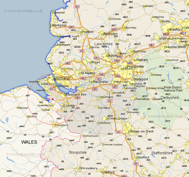
Cheshire Map Showing Location of Burton
Population: 50
District: Chester
Easting: 331061 Northing: 373083
Latitude: 53.25 Longitude: -3.03
 = Burton
District: Chester
Easting: 331061 Northing: 373083
Latitude: 53.25 Longitude: -3.03
= Burton
This Burton map below is supplied by Google. Use the tools in the top left corner to zoom into street level or zoom out for a road map, you may also need to zoom in to see Burton on the map. Click and drag the map to move around. If the map fails to load try and refresh your browser or zoom in or out (+ or -).
Update - it seems Google no longer allow people to use their maps for free! This Burton map sometimes loads and sometimes gives a error. I am working on a solution.
Closest 30 Towns or Cities to Burton (Population over 500)
Neston 3.86km Willaston 4.32km Great Saughall 6.67km Saughall 6.67km Mollington 7.98km Heswall 8.64km Chester 9.55km Ellesmere Port 9.61km Bebington and Bromborough 11.17km Bebington 11.17km Dodleston 14.11km Elton 14.42km Mickle Trafford 14.89km Kirby 15.11km West Kirby 15.11km Christleton 15.24km Dunham 15.52km Dunham on the Hill 15.52km Dunham-on-the-Hill 15.52km Greasby 15.59km Great Barrow 16.5km Barrow 16.5km Birkenhead 16.68km Moreton 17.57km Helsby 17.83km Hoylake 17.86km Hale 18.06km Waverton 18.09km Tarvin 18.6km Ashton 20.31km