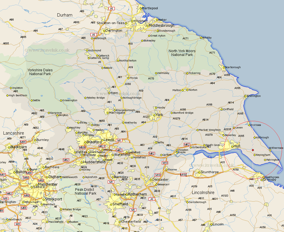
Yorkshire Map Showing Location of Burstwick
Population: 1813
Easting: 523121 Northing: 427965
Latitude: 53.73 Longitude: -0.13
 = Burstwick
Easting: 523121 Northing: 427965
Latitude: 53.73 Longitude: -0.13
= Burstwick
This Burstwick map below is supplied by Google. Use the tools in the top left corner to zoom into street level or zoom out for a road map, you may also need to zoom in to see Burstwick on the map. Click and drag the map to move around. If the map fails to load try and refresh your browser or zoom in or out (+ or -).
Update - it seems Google no longer allow people to use their maps for free! This Burstwick map sometimes loads and sometimes gives a error. I am working on a solution.
Closest 30 Towns or Cities to Burstwick (Population over 500)
Thorngumbold 2.87km Thorngumbald 2.87km Hedon 3.29km Keyingham 3.86km Burton Pidsea 4.31km Ottringham 4.95km Preston 5.74km Roos 5.79km Sproatley 6.46km Paull 6.83km Aldbrough 9.34km Patrington 10.67km Walkington 10.77km Withernsea 10.96km Skirlaugh Station 12.03km Sutton on Hull 13.27km Sutton 13.27km Sutton-on-Hull 13.27km Kingston upon Hull 13.29km Hull 13.41km Wawne 16.06km Cottingham 17.35km Easington 18.05km Hornsea 18.66km Woodmansey 18.86km Anlaby 19.73km Hessle 19.82km Barton 20.51km Barton upon Humber 20.51km Leven 20.57km