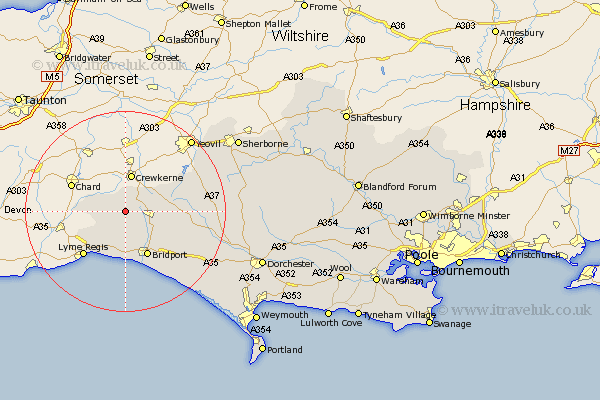
Dorset Map Showing Location of Burstock
Population: 109
District: West Dorset
Easting: 342475 Northing: 102286
Latitude: 50.82 Longitude: -2.82
 = Burstock
District: West Dorset
Easting: 342475 Northing: 102286
Latitude: 50.82 Longitude: -2.82
= Burstock
This Burstock map below is supplied by Google. Use the tools in the top left corner to zoom into street level or zoom out for a road map, you may also need to zoom in to see Burstock on the map. Click and drag the map to move around. If the map fails to load try and refresh your browser or zoom in or out (+ or -).
Update - it seems Google no longer allow people to use their maps for free! This Burstock map sometimes loads and sometimes gives a error. I am working on a solution.
Closest 30 Towns or Cities to Burstock (Population over 500)
Broadwindsor 1.17km Broadwinsor 1.17km Thorncombe 4.68km Beaminster 5.04km Mosterton 5.1km Netherbury 5.98km Bridport 10.19km Bradpole 10.97km Charmouth 10.97km Chideock 11.12km Loders 11.64km Lyme Regis 12.38km Burton Bradstock 14.76km Maiden Newton 18.43km Leigh 19.53km Bradford Abbas 19.79km Yetminster 19.84km Abbotsbury 22.6km Portisham 24.24km Portesham 24.24km Cerne Abbas 24.66km Buckland Newton 25.82km Sherbourne 26.71km Sherborne 26.71km Charminster 27.4km Puddletrenthide 28.36km Piddletrenthide 28.36km Dorchester 29.16km Chickerell 31.49km West Chickerel 31.49km