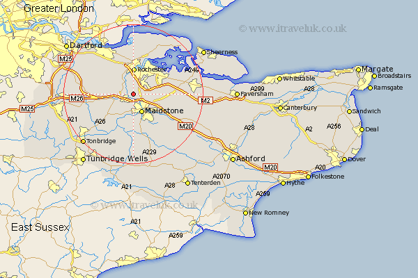
Kent Map Showing Location of Burham
Population: 1251
District: Tonbridge and Malling
Easting: 573037 Northing: 160494
Latitude: 51.32 Longitude: 0.48
 = Burham
District: Tonbridge and Malling
Easting: 573037 Northing: 160494
Latitude: 51.32 Longitude: 0.48
= Burham
This Burham map below is supplied by Google. Use the tools in the top left corner to zoom into street level or zoom out for a road map, you may also need to zoom in to see Burham on the map. Click and drag the map to move around. If the map fails to load try and refresh your browser or zoom in or out (+ or -).
Update - it seems Google no longer allow people to use their maps for free! This Burham map sometimes loads and sometimes gives a error. I am working on a solution.
Closest 30 Towns or Cities to Burham (Population over 500)
Wouldham 2.18km Snodland 3.48km Aylesford 3.71km Cuxton 4.37km Boxley 5.94km Maidstone 6.02km East Malling 6.56km West Malling 6.88km Addington 6.88km Ryarsh 7.2km Rochester 7.41km Strood 7.5km Barming 7.51km East Barming 7.51km Chatham 7.76km Detling 7.88km Bearsted 8.03km Wateringbury 8.75km Offham 8.92km Gillingham 9.28km Cobham 9.4km Loose 9.56km Meopham 9.83km Shorne 9.89km Hoo 10.92km Mereworth 10.99km Linton 11.36km Stockbury 11.58km Langley 11.59km Boughton Monchelsea 11.65km