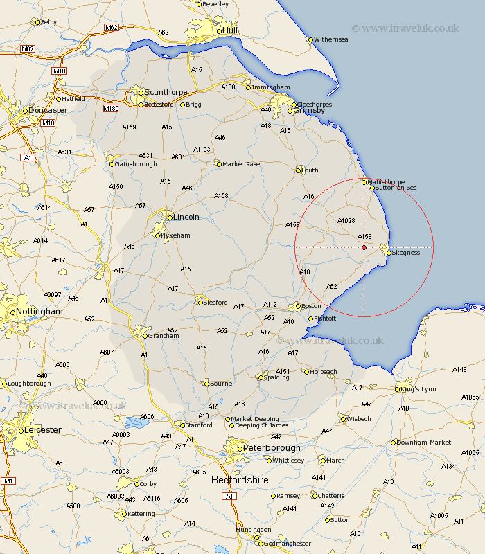
Lincolnshire Map Showing Location of Burgh Le Marsh
Population: 1660
Area Size (ha): 63
District: East Lindsey
Easting: 550449 Northing: 363825
Latitude: 53.15 Longitude: 0.25
 = Burgh Le Marsh
Area Size (ha): 63
District: East Lindsey
Easting: 550449 Northing: 363825
Latitude: 53.15 Longitude: 0.25
= Burgh Le Marsh
This Burgh Le Marsh map below is supplied by Google. Use the tools in the top left corner to zoom into street level or zoom out for a road map, you may also need to zoom in to see Burgh Le Marsh on the map. Click and drag the map to move around. If the map fails to load try and refresh your browser or zoom in or out (+ or -).
Update - it seems Google no longer allow people to use their maps for free! This Burgh Le Marsh map sometimes loads and sometimes gives a error. I am working on a solution.
Closest 30 Towns or Cities to Burgh Le Marsh (Population over 500)
Burgh le Marsh 0km Croft 1.86km Wainfleet All Saints 5.56km Wainfleet 5.56km Ingoldmells 6.68km Skegness 6.92km Willoughby 8.13km Chapel St Leonards 8.65km Chapel St. Leonards 8.65km Chapel Saint Leonards 8.65km Friskney 10.28km Spilsby 10.66km Huttoft 11.18km Alford 11.97km Wrangle 15.74km Stickney 17.25km Old Leake 17.89km Leake 17.89km Sutton on Sea 18.67km Sutton-on-Sea 18.67km Leverton 20.05km Sibsey 20.28km Mablethorpe 20.38km Carrington 21.35km Mareham 21.43km Mareham on the Hill 21.43km Mareham-on-the-Hill 21.43km Bennington 21.62km Benington 21.62km Butterwick 22.22km