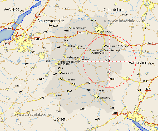
Wiltshire Map Showing Location of Burbage
Population: 1204
Area Size (ha): 59
District: Kennet
Easting: 423219 Northing: 159464
Latitude: 51.33 Longitude: -1.67
 = Burbage
Area Size (ha): 59
District: Kennet
Easting: 423219 Northing: 159464
Latitude: 51.33 Longitude: -1.67
= Burbage
This Burbage map below is supplied by Google. Use the tools in the top left corner to zoom into street level or zoom out for a road map, you may also need to zoom in to see Burbage on the map. Click and drag the map to move around. If the map fails to load try and refresh your browser or zoom in or out (+ or -).
Update - it seems Google no longer allow people to use their maps for free! This Burbage map sometimes loads and sometimes gives a error. I am working on a solution.
Closest 30 Towns or Cities to Burbage (Population over 500)
Grafton 2.32km Collingbourne Ducis 5.68km Pewsey 5.79km Great Bedwyn 5.94km Bedwyn 5.94km Shalbourn 8.31km Shalbourne 8.31km Marlborough 9.9km North Tidworth 11.12km Tidworth 11.12km Upavon 11.81km Ramsbury 12.04km Enford 13.1km Netheravon 13.77km Ludgershall 14.87km Lugershall 14.87km Aldbourne 15.23km Figheldean 15.3km Bulford 16.37km Baydon 17.31km Durrington 18.07km Chiseldon 18.86km Urchfont 18.9km Lark Hill 19.67km Bishops Cannings 20.02km Amesbury 20.23km Broad Hinton 20.29km Broad Town 21.69km Cherhill 21.74km Wroughton 21.94km