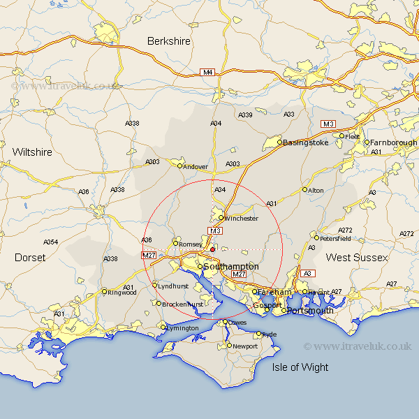
Hampshire Map Showing Location of Eastleigh
Population: 49014
Area Size (ha): 1725
District: Eastleigh
Easting: 445638 Northing: 118848
Latitude: 50.97 Longitude: -1.35
 = Eastleigh
Area Size (ha): 1725
District: Eastleigh
Easting: 445638 Northing: 118848
Latitude: 50.97 Longitude: -1.35
= Eastleigh
This Eastleigh map below is supplied by Google. Use the tools in the top left corner to zoom into street level or zoom out for a road map, you may also need to zoom in to see Eastleigh on the map. Click and drag the map to move around. If the map fails to load try and refresh your browser or zoom in or out (+ or -).
Update - it seems Google no longer allow people to use their maps for free! This Eastleigh map sometimes loads and sometimes gives a error. I am working on a solution.
Closest 30 Towns or Cities to Eastleigh (Population over 500)
Bishopstoke 1.17km Otterbourne 3.7km Chilworth 5.03km Compton 5.68km West End 5.68km Twyford 6.03km Southampton 6.26km Hursley 6.57km Owslebury 6.91km Durley 7.25km Itchen 7.78km Botley 8.06km Upham 8.17km Curdridge 8.95km Curbridge 8.95km Bishops Waltham 9.52km Bishop's Waltham 9.52km Winchester 10.28km Romsey 10.66km Totton 10.87km Ashurst 10.93km Marchwood 10.96km Netley Marsh 11.18km Netley 11.18km Sparsholt 11.36km Hythe 11.66km Bursledon 11.66km Waltham Chase 11.89km Eling 11.93km Locks Heath 12.31km