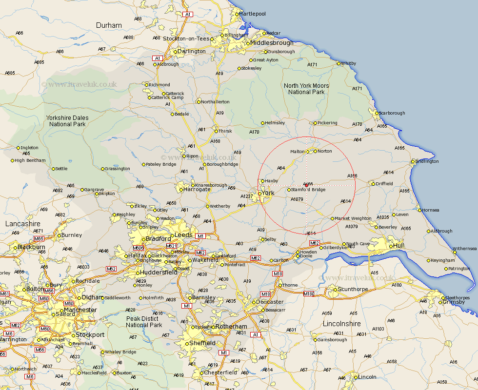
Yorkshire Map Showing Location of Bugthorpe
Population: 122
Easting: 477557 Northing: 456665
Latitude: 54 Longitude: -0.82
 = Bugthorpe
Easting: 477557 Northing: 456665
Latitude: 54 Longitude: -0.82
= Bugthorpe
This Bugthorpe map below is supplied by Google. Use the tools in the top left corner to zoom into street level or zoom out for a road map, you may also need to zoom in to see Bugthorpe on the map. Click and drag the map to move around. If the map fails to load try and refresh your browser or zoom in or out (+ or -).
Update - it seems Google no longer allow people to use their maps for free! This Bugthorpe map sometimes loads and sometimes gives a error. I am working on a solution.
Closest 30 Towns or Cities to Bugthorpe (Population over 500)
Fangfoss 3.86km Stamford Bridge 6.8km Wilberfoss 7.06km Barmby on the Moor 7.42km Barmby-on-the-Moor 7.42km Barmby 7.42km Pocklington 8.6km Sutton 11.34km Sutton upon Derwent 11.34km Melbourne 13.16km Malton 14.83km Sheriff Hutton 15.14km Strensall 15.21km Heslington 15.22km Earswick 15.25km Huntington 15.25km Norton 15.55km Terrington 16.26km Wheldrake 16.27km Wetwang 16.34km Haxby 16.44km Wigginton 16.44km New Earswick 16.45km Seaton Ross 16.68km Market Weighton 17.78km York 17.82km Slingsby 17.91km Rillington 18.33km Holme upon Spalding Moor 18.82km Holme 18.82km