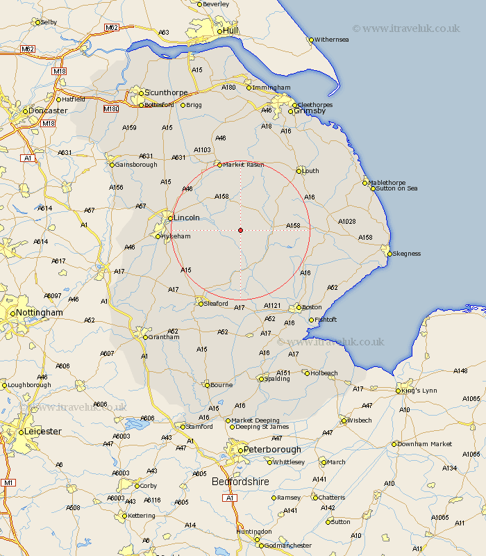
Lincolnshire Map Showing Location of Bucknall
Population: 309
District: East Lindsey
Easting: 516883 Northing: 368452
Latitude: 53.2 Longitude: -0.25
 = Bucknall
District: East Lindsey
Easting: 516883 Northing: 368452
Latitude: 53.2 Longitude: -0.25
= Bucknall
This Bucknall map below is supplied by Google. Use the tools in the top left corner to zoom into street level or zoom out for a road map, you may also need to zoom in to see Bucknall on the map. Click and drag the map to move around. If the map fails to load try and refresh your browser or zoom in or out (+ or -).
Update - it seems Google no longer allow people to use their maps for free! This Bucknall map sometimes loads and sometimes gives a error. I am working on a solution.
Closest 30 Towns or Cities to Bucknall (Population over 500)
Bardney 4.81km Woodhall Spa 5.99km Banovallum 8.88km Horncastle 8.88km Wragby 9.84km Coningsby 10.8km Martin 10.8km Potter Hanworth 11.26km Dunston 11.44km Tattershall 11.61km Nocton 11.71km Mareham 12.35km Mareham-on-the-Hill 12.35km Mareham on the Hill 12.35km Cherry Willingham 12.37km Holton 12.43km Metheringham 12.45km Reepham 12.76km Fiskerton 12.76km Billinghay 13.17km Heighington 14.43km Washingborough 14.55km Branston 14.55km Scopwick 14.96km Digby 15.13km Sudbrooke 15.24km Scothern 16.21km Bloxholme 17.09km Bloxholm 17.09km Nettleham 17.21km