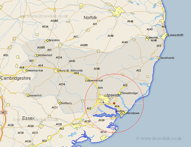
Suffolk Map Showing Location of Bucklesham
Population: 542
District: Suffolk Coastal
Easting: 622898 Northing: 242243
Latitude: 52.03 Longitude: 1.25
 = Bucklesham
District: Suffolk Coastal
Easting: 622898 Northing: 242243
Latitude: 52.03 Longitude: 1.25
= Bucklesham
This Bucklesham map below is supplied by Google. Use the tools in the top left corner to zoom into street level or zoom out for a road map, you may also need to zoom in to see Bucklesham on the map. Click and drag the map to move around. If the map fails to load try and refresh your browser or zoom in or out (+ or -).
Update - it seems Google no longer allow people to use their maps for free! This Bucklesham map sometimes loads and sometimes gives a error. I am working on a solution.
Closest 30 Towns or Cities to Bucklesham (Population over 500)
Nacton 2.17km Martlesham Heath 4.36km Kirton 5.88km Kirkton 5.88km Chelmondiston 6.01km Martlesham 6.53km Shotley 7.41km Grundisburgh 7.42km Sutton 7.78km Ipswich 7.96km Holbrook 7.97km Melton 8.7km Woodbridge 8.7km Witnesham 8.71km Wirnesham 8.71km Walton 8.82km Felixstowe 10.09km Stutton 10.09km Sproughton 10.43km Sprughton 10.43km Claydon 10.68km Bramford 10.91km Ufford 11.52km Henley 11.52km Great Blakenham 12.65km Hollesley 12.68km Bentley 12.69km Otley 13.03km Capel 13.08km Capel St. Mary 13.08km