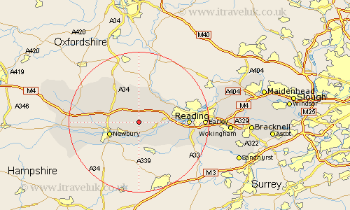
Berkshire Map Showing Location of Bucklebury
Population: 2066
Easting: 455605 Northing: 170835
Latitude: 51.43 Longitude: -1.2
 = Bucklebury
Easting: 455605 Northing: 170835
Latitude: 51.43 Longitude: -1.2
= Bucklebury
This Bucklebury map below is supplied by Google. Use the tools in the top left corner to zoom into street level or zoom out for a road map, you may also need to zoom in to see Bucklebury on the map. Click and drag the map to move around. If the map fails to load try and refresh your browser or zoom in or out (+ or -).
Update - it seems Google no longer allow people to use their maps for free! This Bucklebury map sometimes loads and sometimes gives a error. I am working on a solution.
Closest 30 Towns or Cities to Bucklebury (Population over 500)
Cold Ash 3.93km Beenham 3.93km Bradfield 4.62km Hermitage 4.98km Thatcham 5.92km Aldermaston 6.55km Brimpton 7.49km Shaw 7.86km Greenham 8.02km Chieveley 8.3km Newbury 8.9km Theale 9.24km Basildon 9.4km Pangbourne 9.81km Compton 9.9km Streatley 9.9km Speen 11.04km Tilehurst 11.7km Burghfield 12.14km East Ilsley 12.53km Reading 13.86km Welford 13.99km Mortimer 14.72km Stratfield Mortimer 14.72km Kintbury 17.11km Great Shefford 17.72km West Shefford 17.72km Shefford 17.72km Shinfield 17.73km Earley 18.49km