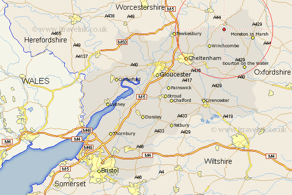
Gloucestershire Map Showing Location of Buckland
Population: 256
District: Tewkesbury
Easting: 409148 Northing: 235419
Latitude: 52.02 Longitude: -1.87
 = Buckland
District: Tewkesbury
Easting: 409148 Northing: 235419
Latitude: 52.02 Longitude: -1.87
= Buckland
This Buckland map below is supplied by Google. Use the tools in the top left corner to zoom into street level or zoom out for a road map, you may also need to zoom in to see Buckland on the map. Click and drag the map to move around. If the map fails to load try and refresh your browser or zoom in or out (+ or -).
Update - it seems Google no longer allow people to use their maps for free! This Buckland map sometimes loads and sometimes gives a error. I am working on a solution.
Closest 30 Towns or Cities to Buckland (Population over 500)
Chipping Campden 5.99km Dumbleton 6.84km Blockley 7.98km Winchcomb 9.36km Winchcombe 9.36km Ebrington 9.84km Alderton 9.85km Mickleton 10.08km Moreton in Marsh 12km Moreton in the Marsh 12km Moreton-in-Marsh 12km Stow-on-the-Wold 13.02km Stow on the Wold 13.02km Bishops Cleeve 15.58km Southam 15.61km Ashchurch 17.21km Andoversford 17.63km Swindon 18.48km Bourton-on-the-Water 18.5km Bourton on the Water 18.5km Tewkesbury 19.48km Cheltenham 19.72km Northleach 20.68km Withington 21.18km Charlton Kings 21.59km Bledington 21.81km Leckhampton 22.33km Staverton 23.37km Deerhurst 23.49km Shurdington 23.91km