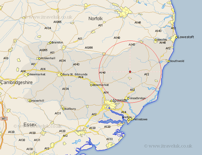
Suffolk Map Showing Location of Brundish
Population: 192
District: Mid Suffolk
Easting: 627418 Northing: 268449
Latitude: 52.27 Longitude: 1.33
 = Brundish
District: Mid Suffolk
Easting: 627418 Northing: 268449
Latitude: 52.27 Longitude: 1.33
= Brundish
This Brundish map below is supplied by Google. Use the tools in the top left corner to zoom into street level or zoom out for a road map, you may also need to zoom in to see Brundish on the map. Click and drag the map to move around. If the map fails to load try and refresh your browser or zoom in or out (+ or -).
Update - it seems Google no longer allow people to use their maps for free! This Brundish map sometimes loads and sometimes gives a error. I am working on a solution.
Closest 30 Towns or Cities to Brundish (Population over 500)
Dennington 2.27km Laxfield 4.34km Framlingham 5.56km Worlingworth 5.67km Stradbroke 7.17km Fressingfield 9.54km Cookley 9.69km Debenham 11.63km Yoxford 12.48km Saxmundham 12.64km Hoxne 12.96km Wickham Market 13.17km Eye 13.65km Thorndon 13.73km Holton 14.5km Halesworth 14.64km Otley 14.66km Snape 14.66km Wenhaston 15.75km Ufford 16.72km Tunstall 16.83km Leiston 17.54km Rendlesham 17.62km Mendlesham 18.24km Woodbridge 18.57km Melton 18.57km Grundisburgh 19.39km Gislingham 19.63km Martlesham 20.52km Henley 20.84km