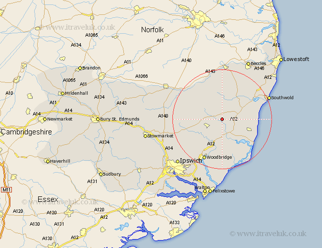
Suffolk Map Showing Location of Bruisyard
Population: 168
District: Suffolk Coastal
Easting: 633190 Northing: 266858
Latitude: 52.25 Longitude: 1.42
 = Bruisyard
District: Suffolk Coastal
Easting: 633190 Northing: 266858
Latitude: 52.25 Longitude: 1.42
= Bruisyard
This Bruisyard map below is supplied by Google. Use the tools in the top left corner to zoom into street level or zoom out for a road map, you may also need to zoom in to see Bruisyard on the map. Click and drag the map to move around. If the map fails to load try and refresh your browser or zoom in or out (+ or -).
Update - it seems Google no longer allow people to use their maps for free! This Bruisyard map sometimes loads and sometimes gives a error. I am working on a solution.
Closest 30 Towns or Cities to Bruisyard (Population over 500)
Laxfield 6.52km Saxmundham 6.78km Framlingham 6.78km Yoxford 7.06km Cookley 7.75km Dennington 8.15km Snape 9.34km Holton 11.49km Worlingworth 11.5km Wickham Market 11.63km Leiston 11.63km Wenhaston 11.72km Halesworth 12.48km Stradbroke 12.61km Tunstall 13.17km Fressingfield 13.66km Rendlesham 14.82km Ufford 15.5km Debenham 16.32km Thorpe 16.48km Thorpeness 16.48km Aldeburgh 16.73km Otley 16.73km Wangford 17.57km Woodbridge 18.02km Melton 18.02km Hoxne 18.46km Eye 19.6km Thorndon 19.63km Orford 20.17km