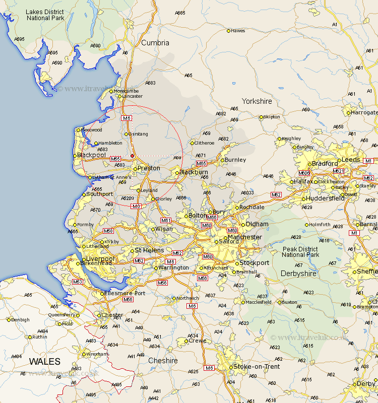
Lancashire Map Showing Location of Broughton
Population: 1264
Area Size (ha): 60
District: Preston
Easting: 351724 Northing: 435875
Latitude: 53.82 Longitude: -2.73
 = Broughton
Area Size (ha): 60
District: Preston
Easting: 351724 Northing: 435875
Latitude: 53.82 Longitude: -2.73
= Broughton
This Broughton map below is supplied by Google. Use the tools in the top left corner to zoom into street level or zoom out for a road map, you may also need to zoom in to see Broughton on the map. Click and drag the map to move around. If the map fails to load try and refresh your browser or zoom in or out (+ or -).
Update - it seems Google no longer allow people to use their maps for free! This Broughton map sometimes loads and sometimes gives a error. I am working on a solution.
Closest 30 Towns or Cities to Broughton (Population over 500)
Broughton 0km Barton 0km Woodplumpton 2.16km Goosnargh 4.38km Claughton 5.67km Claughton-on-Brock 5.67km Claughton on Brock 5.67km Preston 5.67km Catterall 5.97km Inskip 6.82km Grimsargh 6.82km Lea Town 7.08km Lea 7.08km Penwortham 7.42km Samlesbury 9.47km Eccleston 9.5km Great Eccleston 9.5km Kirkham 9.51km Garstang 9.52km Hutton 9.53km Elswick 10.02km Longridge 10.02km Warton 11.31km Farrington 11.33km Farington 11.33km Freckleton 11.48km Longton 11.95km Chipping 12.32km Great Singleton 13.26km Singleton 13.26km