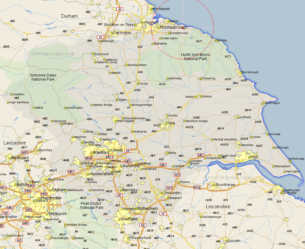
Yorkshire Map Showing Location of Brotton
Population: 4654
Area Size (ha): 101
Easting: 468958 Northing: 519589
Latitude: 54.57 Longitude: -0.93
 = Brotton
Area Size (ha): 101
Easting: 468958 Northing: 519589
Latitude: 54.57 Longitude: -0.93
= Brotton
This Brotton map below is supplied by Google. Use the tools in the top left corner to zoom into street level or zoom out for a road map, you may also need to zoom in to see Brotton on the map. Click and drag the map to move around. If the map fails to load try and refresh your browser or zoom in or out (+ or -).
Update - it seems Google no longer allow people to use their maps for free! This Brotton map sometimes loads and sometimes gives a error. I am working on a solution.
Closest 30 Towns or Cities to Brotton (Population over 500)
Saltburn-by-the-Sea 3.72km Saltburn 3.72km Saltburn by the Sea 3.72km Skelton 3.72km Skelton-in-Cleveland 3.72km Loftus 3.72km Marske by the Sea 6.15km Marske-by-the-Sea 6.15km Marske 6.15km Guisborough 8.39km Redcar 9.31km Eston 10.91km Hinderwell 11.37km South Bank on Tees 13.97km South Bank 13.97km South Bank-on-Tees 13.97km South Bank in Normanby 13.97km Middlesbrough 13.97km Middlesborough 13.97km Middlebrough 13.97km Grangetown 14.09km Great Ayton 14.88km Ingleby 18.33km Great Broughton 19.88km Stokesley 20.49km Seamer 21.4km Whitby 21.47km Sleights 21.56km Middleton upon Leven 24.22km Middleton 24.22km